|
Bloomfield's Griffin Brook... |
|||||
|
|||||
|
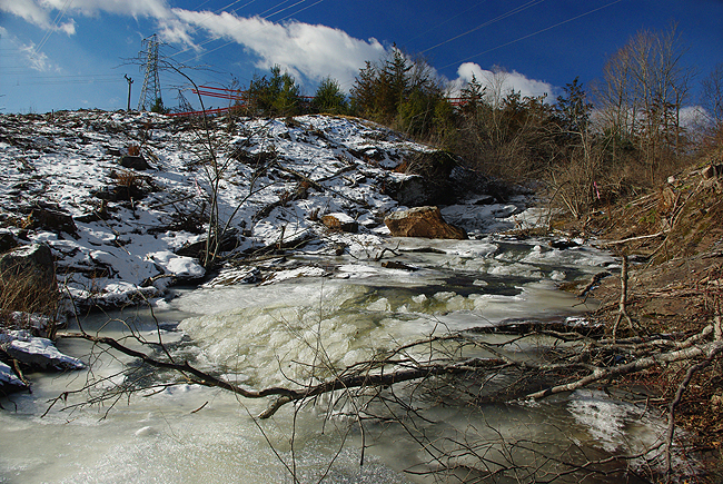
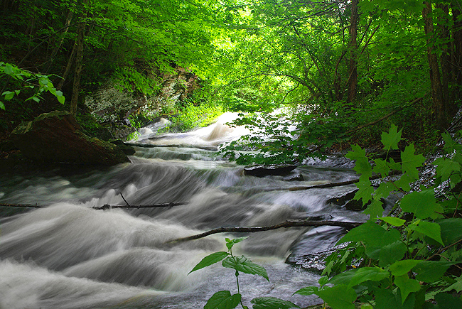
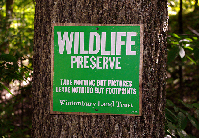
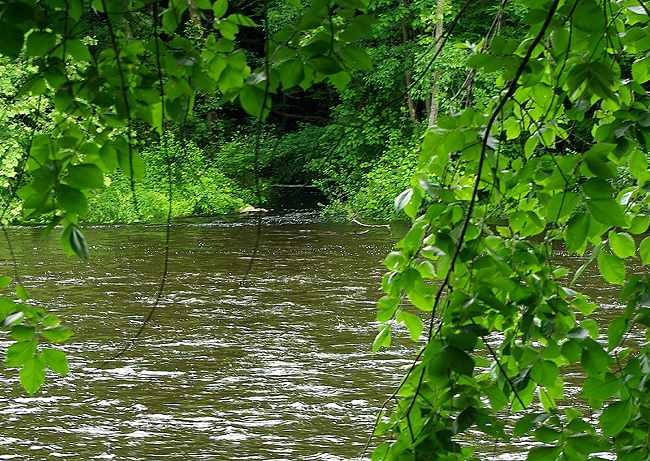
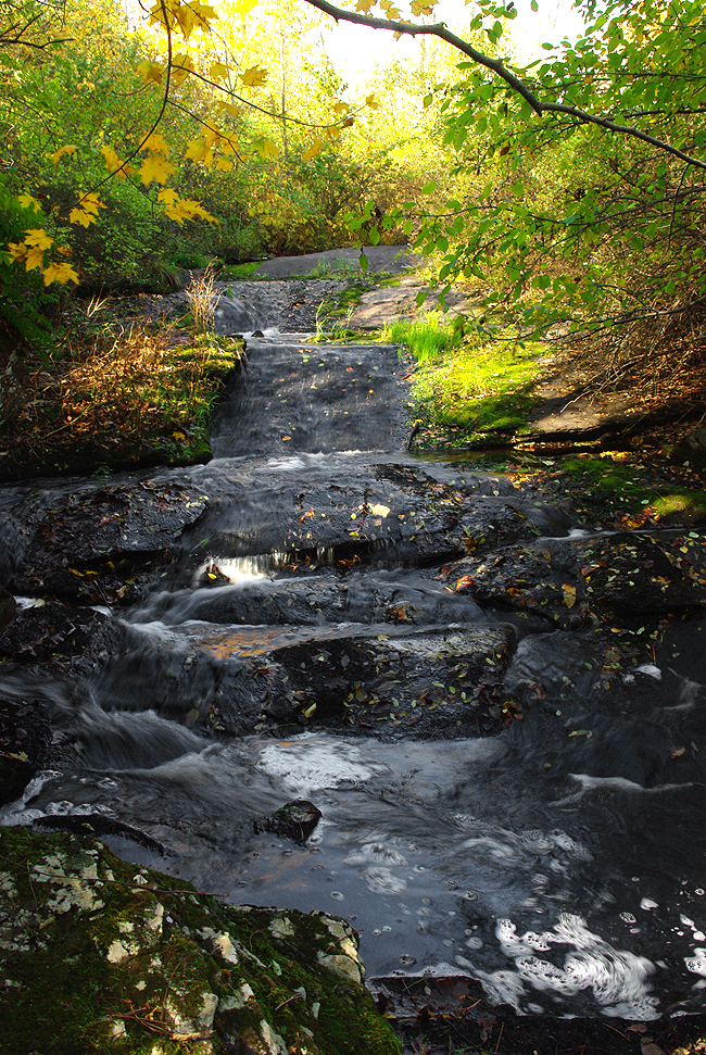
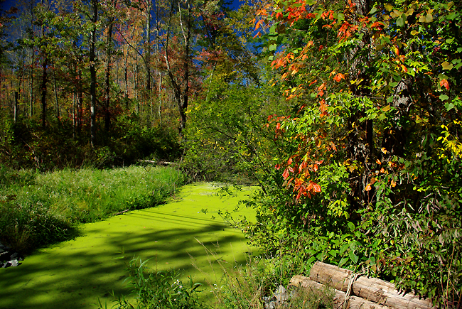
The gentle falls are along a stretch of the brook that flows adjacent to Tariffville Road, before heading under the street via two large culverts. A portion of Griffin Brook passes through the Merritt Preserve - part of the Wintonbury Land Trust. It's set aside as a nature preserve and you'll see why in the following images... The 3 acre parcel, with about 560 feet of frontage along Tariffville Road, was donated to the Trust in 1995 by Mr. and Mrs. Robert Merritt and harbors a myriad of plant and animal life...In fact, it's a GREAT area to observe wildlife in early morning and late evening, according to Vikki Reski of the Land Trust. CL&P property borders the preserve on two sides, effectively linking it to a large area of undeveloped wetlands in Bloomfield. This is the area cleared by Connecticut Light & Power in the Fall of 2012...
|
|||||
|
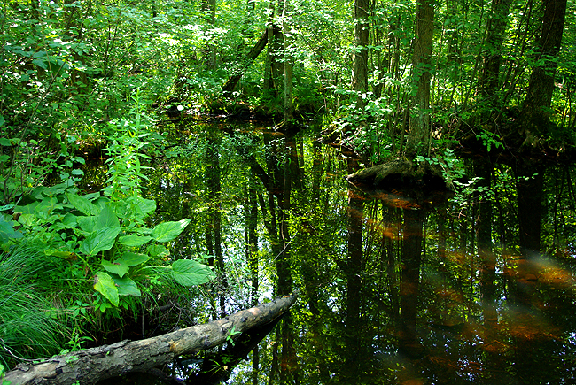
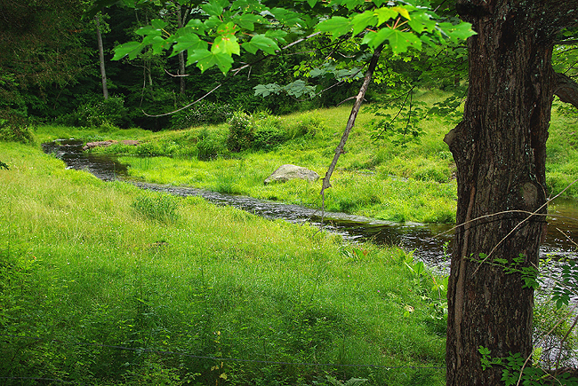
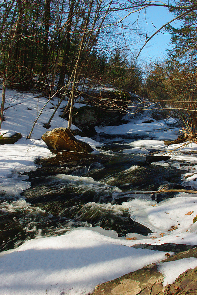
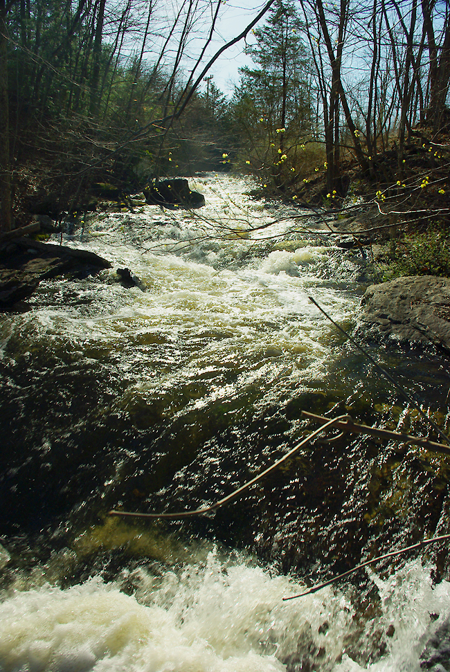
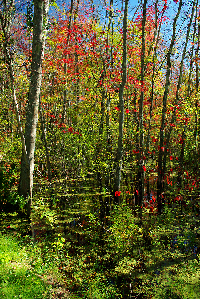
Above, the brook continues on its path. Having passed underneath Tariffville Road, it now gently meanders northeasterly into heavy forest - very likely where John Griffin tread in the mid 1600s - and onward toward the Farmington River... |
|||||
|
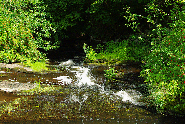
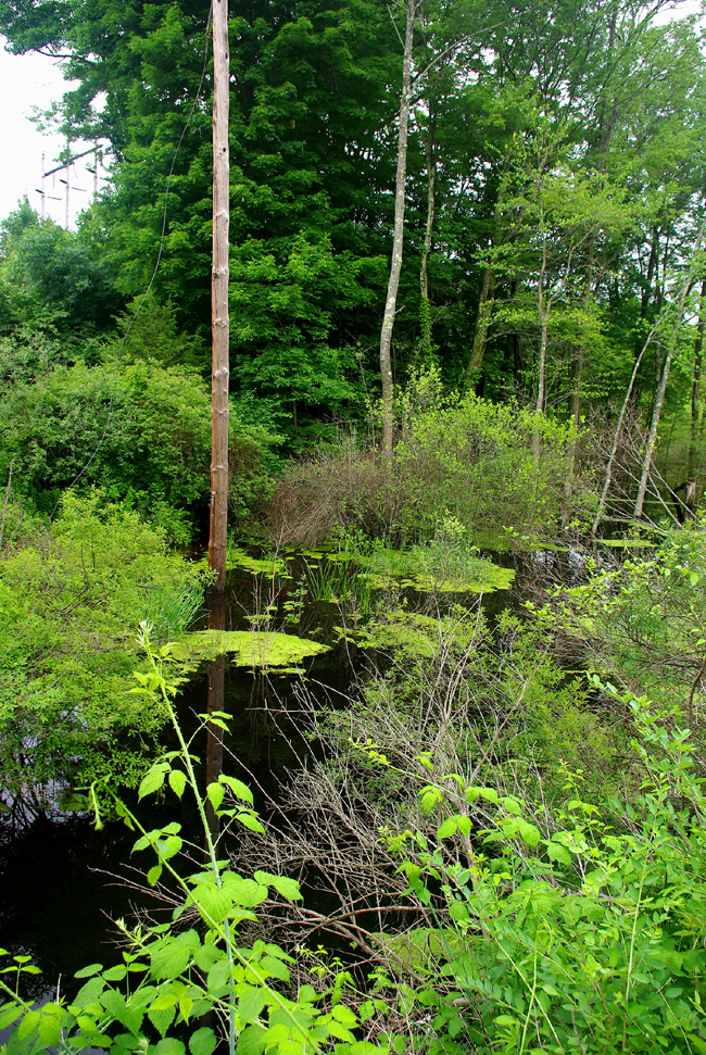
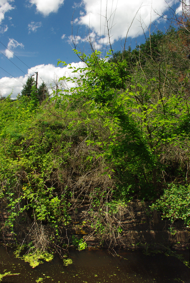
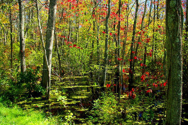
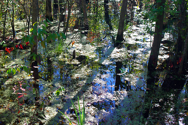
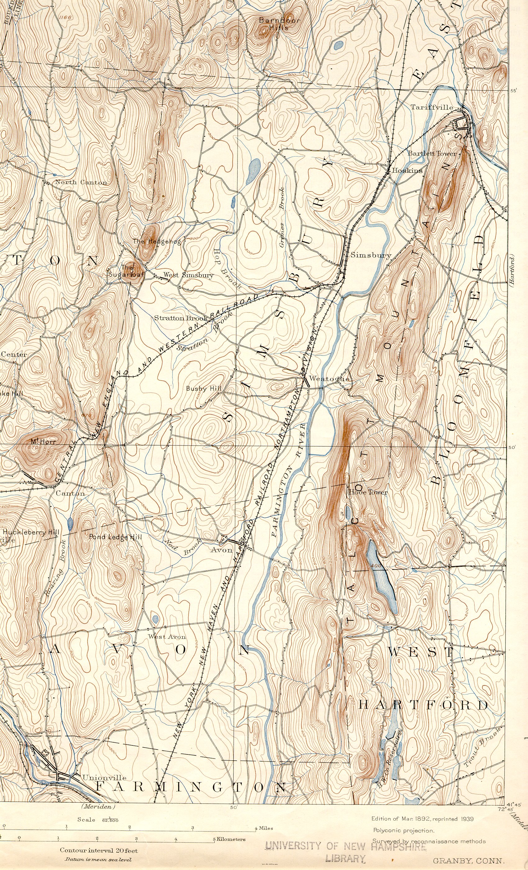
The source of the brook's water is a large area of wetlands along the Penwood/Talcott Ridge, which sometimes is referred to as the "Great Drain." Because of the nonporous bedrock that lies below, the water in these wetlands and swamps drains northward toward the Farmington River via a number of streams including Griffin Brook. If you follow the brook upstream from the falls, you'll find a swamp, an area of dense forest and heavy wetlands on and adjacent to CL&P (Connecticut Light & Power) property...Above, looking west, is a part of the wetlands area behind the power substation just off Hoskins Road. To the left of the old pole is where an old railroad bed through Bloomfield to Tariffville (and on into Simsbury) once existed (the Central New England & Western RR). We were standing at the edge of the circa 1870s abutments where an extinct railway bridge once crossed Griffin Brook. The abutments, though pretty much overgrown now, are still in pristine condition! Note the Duckweed flourishing on the water's surface. Recent heavy rains have increased the water level here significantly, resulting in lush vegetation and wildflower bloom...CLICK HERE for an 1892 Topographic Map of the area - look in the upper right hand corner (just above the "D" in "Bloomfield") to see exactly where the tracks ran across Griffin Brook and onward. Note: You may need to click your mouse on the expansion icon in the lower right corner of the downloaded image to expand to map to 100%... For more details on the railway and the Great Tariffville Train Wreck of 1878, CLICK HERE! For great historical photographs of the accident's aftermath, CLICK HERE!
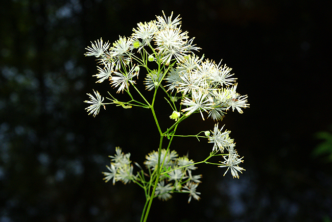
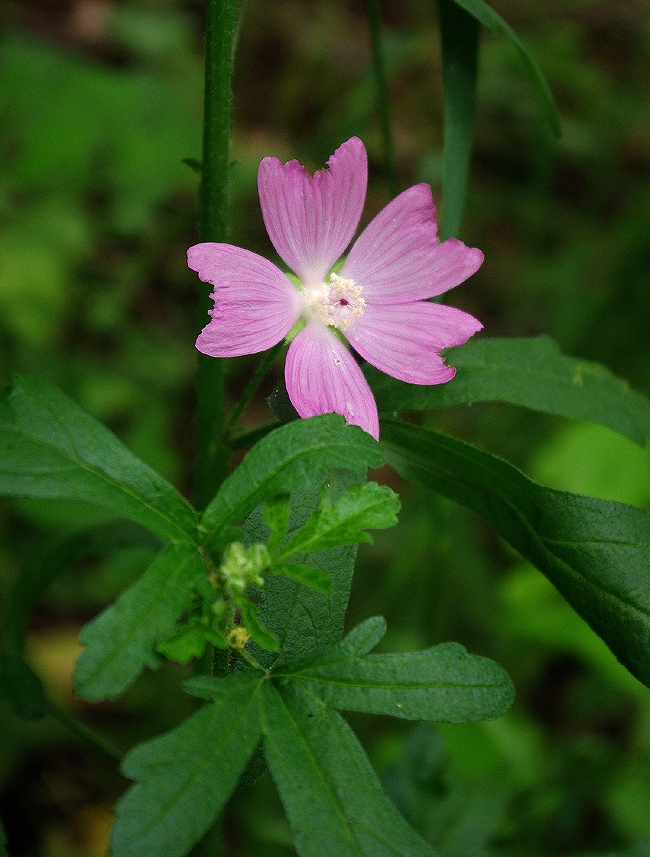
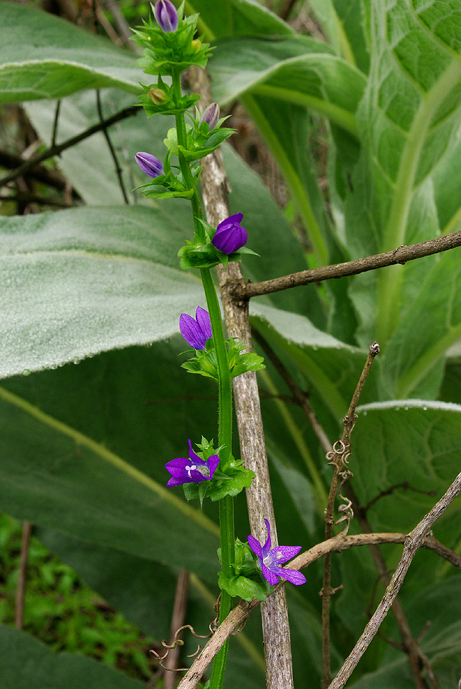
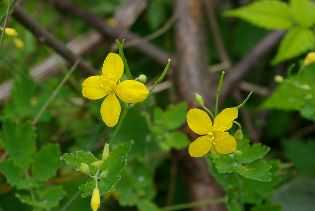
The following five images of wildflowers in bloom were all taken near Griffin Brook and on the adjacent wetlands...Nature's beauty at its best...Enjoy! |
|||||
|
Above: Wild Geranium (Geranium maculatum) |
|||||
|
Delicate purple blooms of Venus Looking-Glass (Specularia perfoliata) |
|||||
|
These bright yellow beauties above are Celandine (Chelidonium majus) |
|||||
|
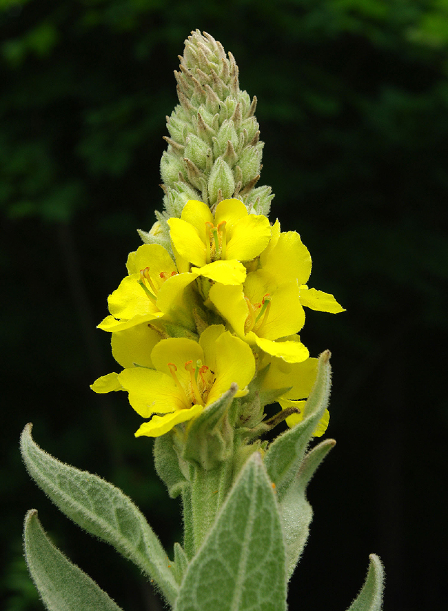
Above: Common Mullein (Verbascum thapsus L.) - a fairly invasive species! Lovely, nonetheless... |
|||||
|
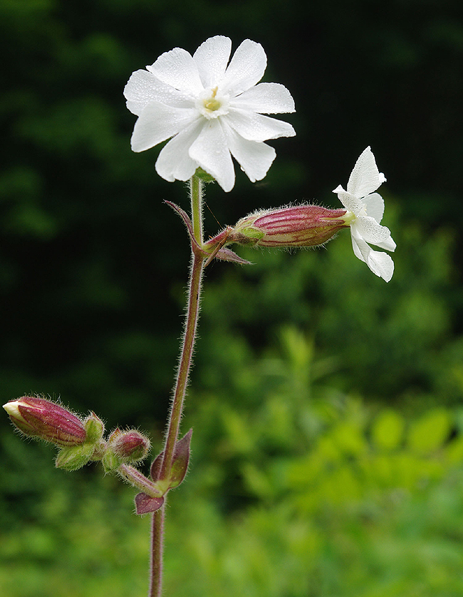
Finally, bright white Bladder Campion (Silene latafolia) - sometimes referred to as Evening Lychnis or White Cockle...Many thanks to Eric and Cathy Haines and also Janet Novak of the Connecticut Botanical Society for their kind assistance in identifying these lovely wildflowers! |
|||||
|
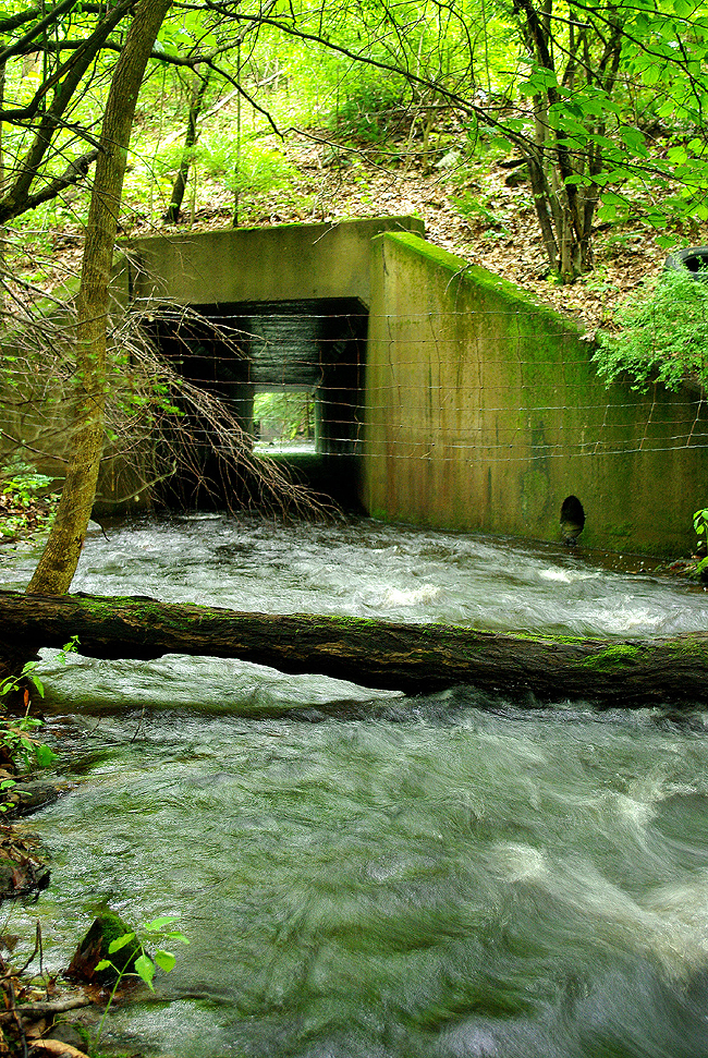
Accessed via power company rights-of-way to the east, off Tariffville Road, a climb down steep, vegetation-covered banks reveals Griffin Brook flowing swiftly toward a large moss-covered tunnel. It channels the water under Route 189 and onward toward the Farmington River...It was obvious that very few visit this spot! |
|||||
|
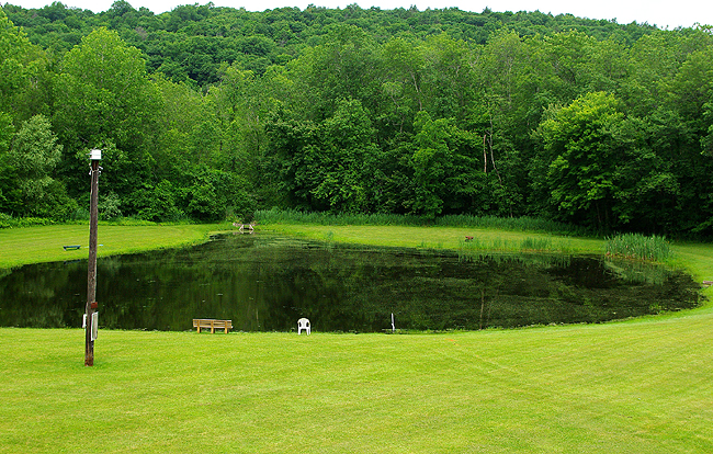
The pond at the Bloomfield Fish and Game Club, dug from a swamp in the 1970s, is fed from the same wetlands that feed Griffin Brook. Water enters the pond through a weir just to the left of center and outflows back into the same wetlands near the cattails at the right-hand edge. The pond is stocked and the fish thrive in the environment... |
|||||
|
As seen from Spoonville Road in East Granby, on the opposite bank of the Farmington River, you can spot Griffin Brook in the center, as it pours into the Farmington...There does not appear to be any easy access to that outflow point on the Griffin side however! |
|||||
|
History says that Englander John Griffin, one of the earliest settlers in the area in the mid 1600s, set up a tar and pitch manufacturing facility at the nearby Farmington River in 1645. He also made replacement masts for sailing ships from local trees. Griffin hired the Massaco Indian inhabitants to help and paid them in rum! Rum Spring - a nearby water source and the unofficial name of another small brook - is named for that... The masts were floated down Griffin Brook from a point past the falls and on into the Farmington (and perhaps further on to the Connecticut) River. Thanks to Bloomfield Town Councilman Joe Merritt for supplying these fascinating tidbits of North Bloomfield's early history! Click here for additional information on John Griffin and his early exploits in Simsbury and what is now North Bloomfield...For additional images of the railroad right-of-way path from Duncaster Road to the brook, (a great wildflower walk!) please click here. Photos. c 2009, Dennis A. Hubbs, D&D Travel Services, LLC
|
|||||
We do hope you have enjoyed a look at one of Bloomfield's Hidden Gems. Perhaps you'll visit the spot sometime soon - the only perpetual waterfall in town! - Dennis A. and Steven A. Hubbs
|
Land Tours - Cruising - Travel Glossary - Gallery - Email Us