|
D&D Travel's Southern Idaho 2020 continued... images c. 2020, Dennis A. Hubbs, D&D Travel Services, LLC |
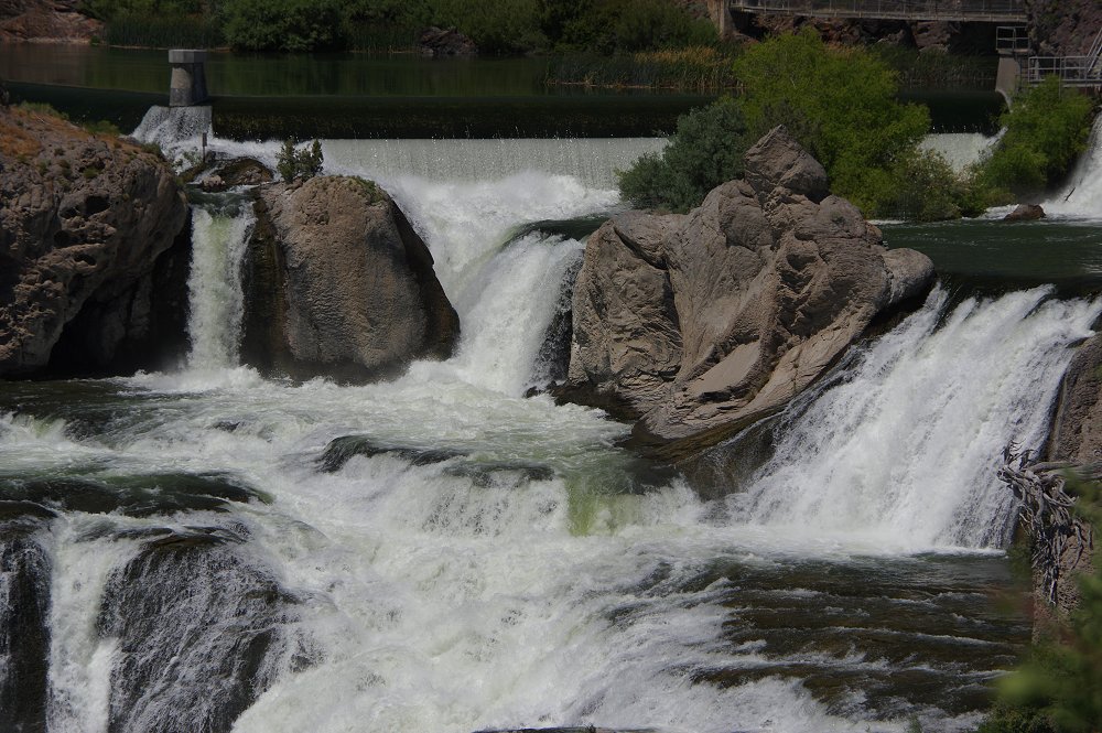
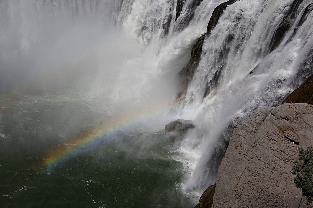 A few more images of Shoshone Falls, complete with rainbow! |
 |
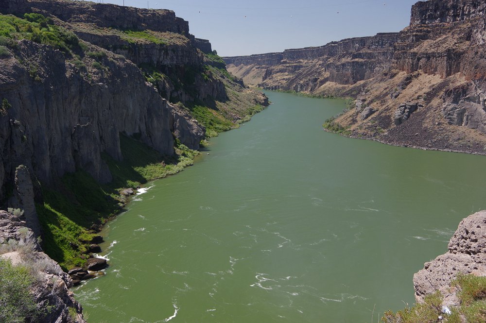 Looking at the Snake River, downstream from the falls... |
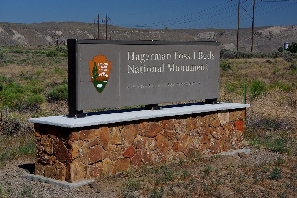 Just west of Hagerman, Idaho is Hagerman Fossil Beds National Monument...worth a stop IF you are in the area |
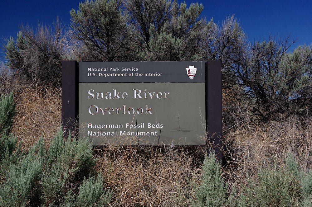 |
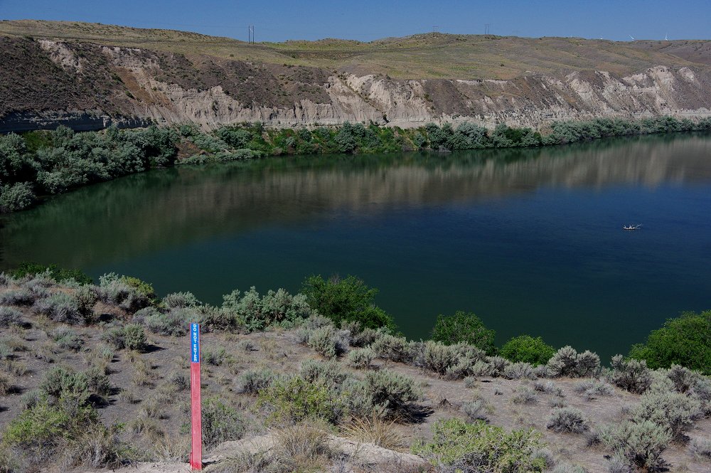 This is the Snake River Overlook at the fossil beds. The most famous fossil found here is the Hagerman Horse (also the official state fossil). The site preserves fossils from the Pliocene Epoch. This time period is from about 2.6 million years ago to 11,700 years ago. The Oregon Trail also passes through the southern portion of the monument. |
 |
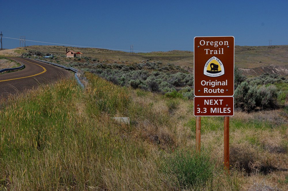 |
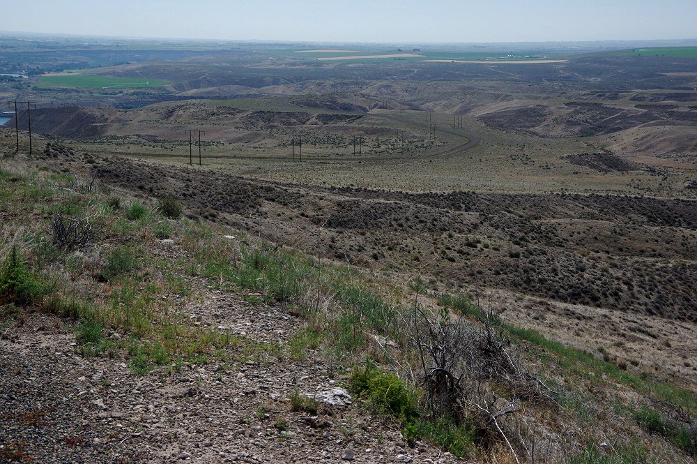 The Oregon Trail passes through the valley below (view looking to the southeast) along Bell Rapids Road at the southern end of Hagerman Fossil Beds National Monument |
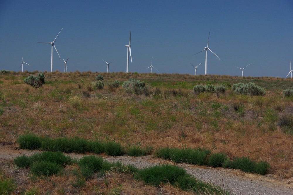 ...and to the west along a ridge is a wind turbine farm - something folks traveling along the trail would surely have not seen! |
 This little guy posed for us at the Oregon Trail historical marker site near the monument! |
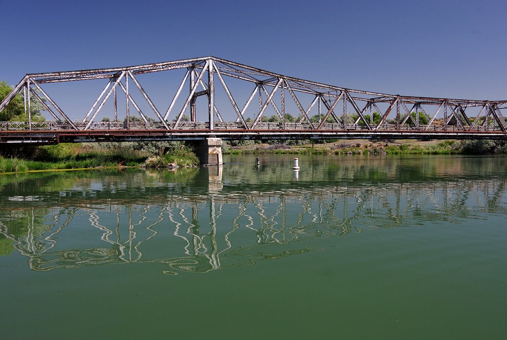 An old bridges reflects in the waters of the Snake River along Idaho 30 east of Hagerman... |
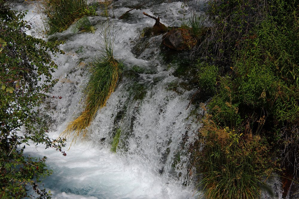
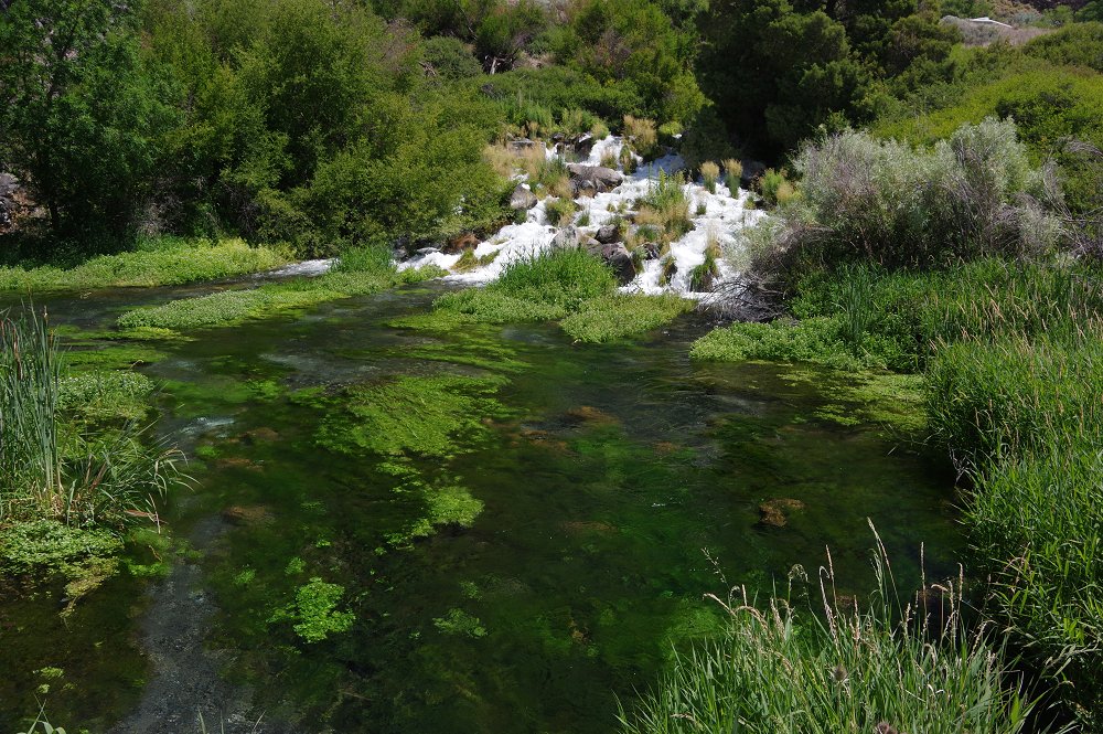
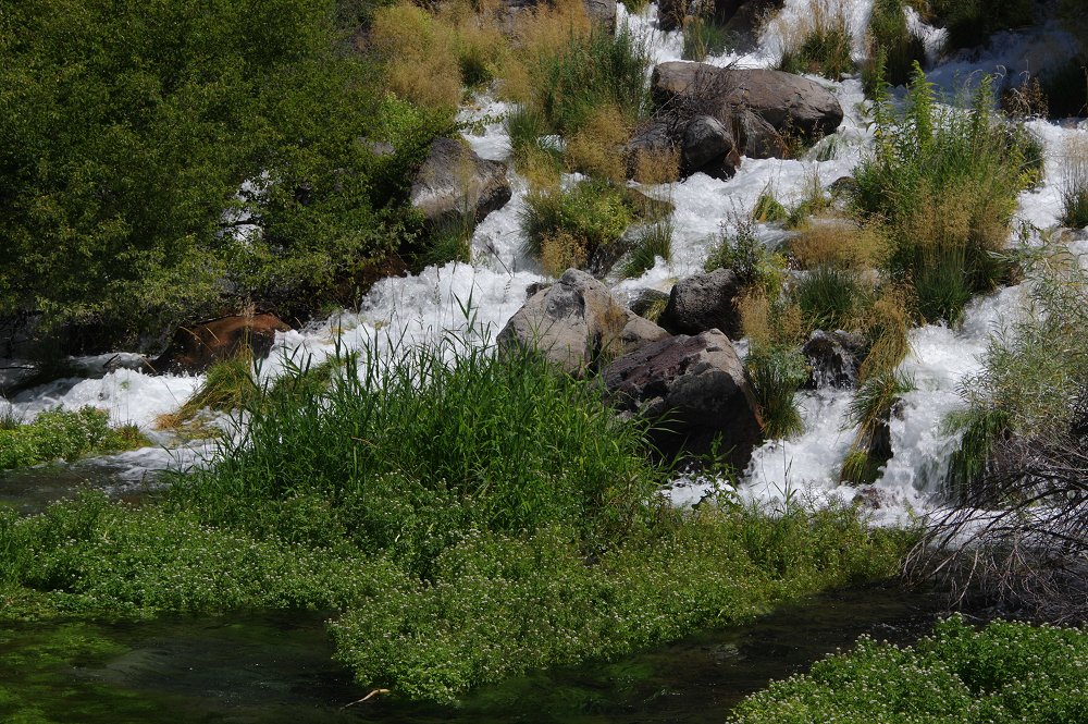
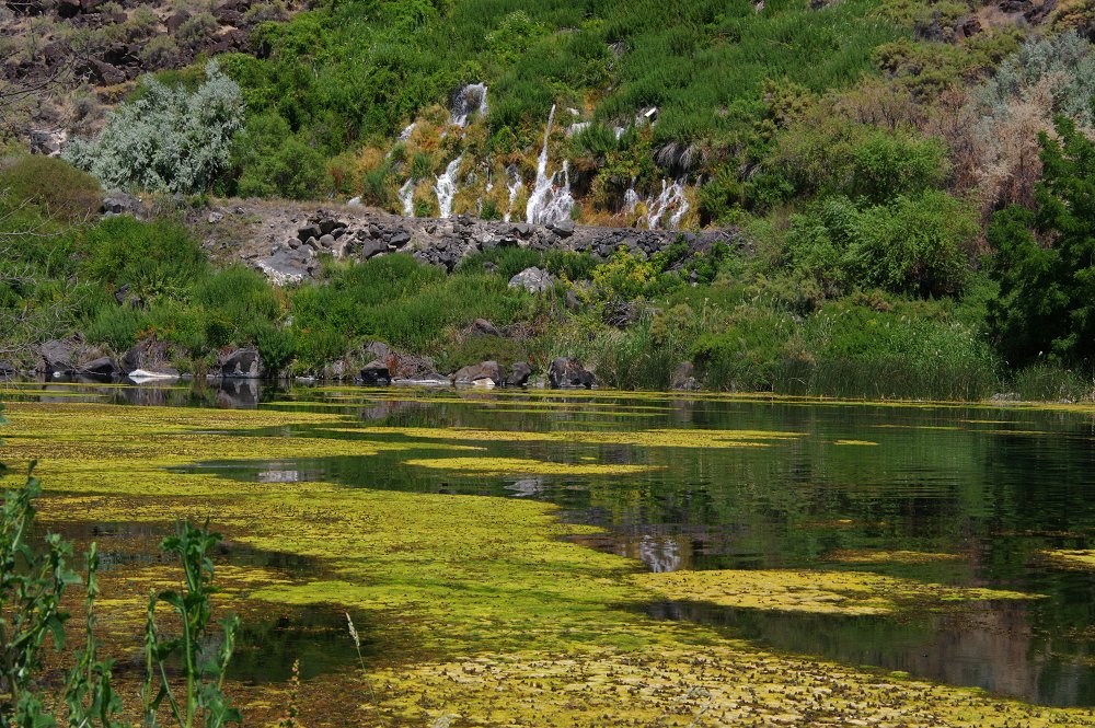
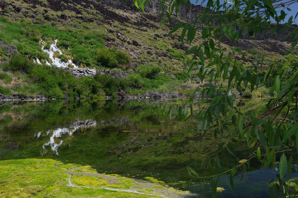
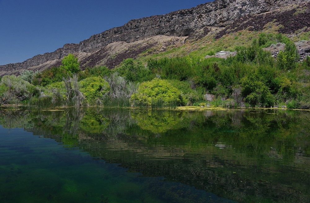
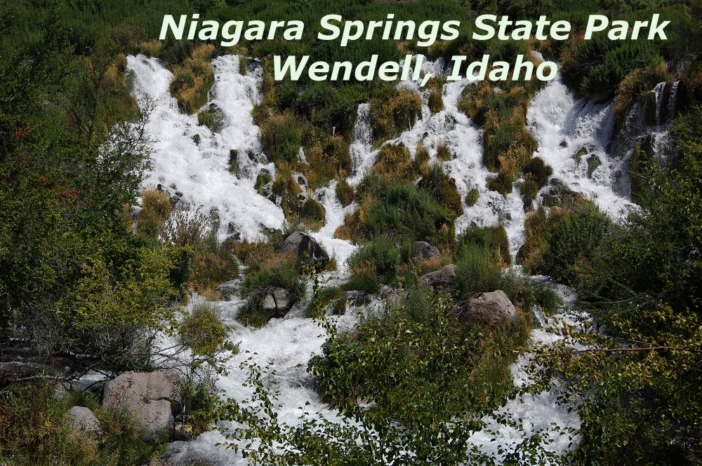 Easily one of the most beautiful places we visited - Niagara Springs State Park in Wendell. Along the Snake River, multiple springs form waterfalls that flow at 250 cubic feet per second, tumbling toward the Snake at several places along the park road. The park is one of 5 units that together form Thousand Springs State Park. |
 |
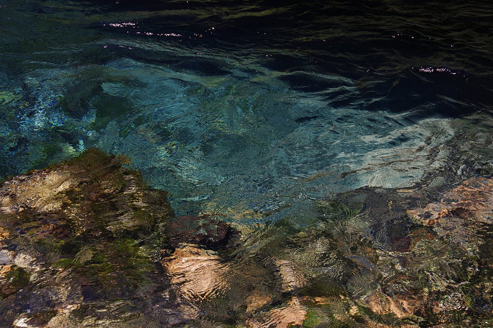 Above and below: The crystal clear springs form beautiful color patterns at the surface as they flow toward the Snake River... |
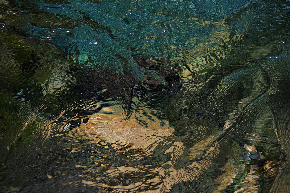 |
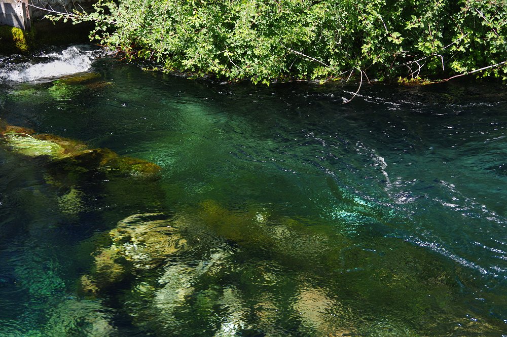 This is the actual color of the springs in many places!!! |
 |
 |
 |
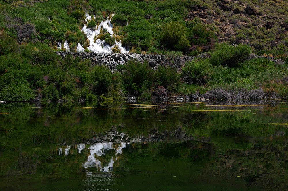 Several springs tumble into Crystal Springs Lake, forming lovely reflections... |
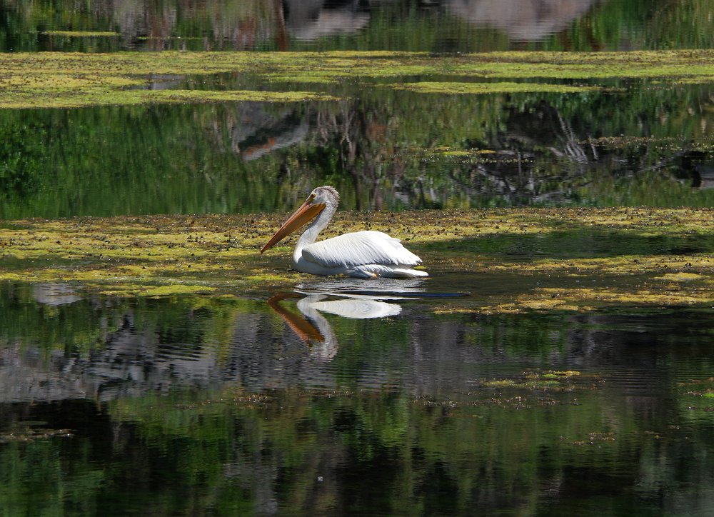 ...as area waterfowl like this pelican enjoy the water. Please click here for a video of this guy taking flight! |
 |
 |
 |
 |
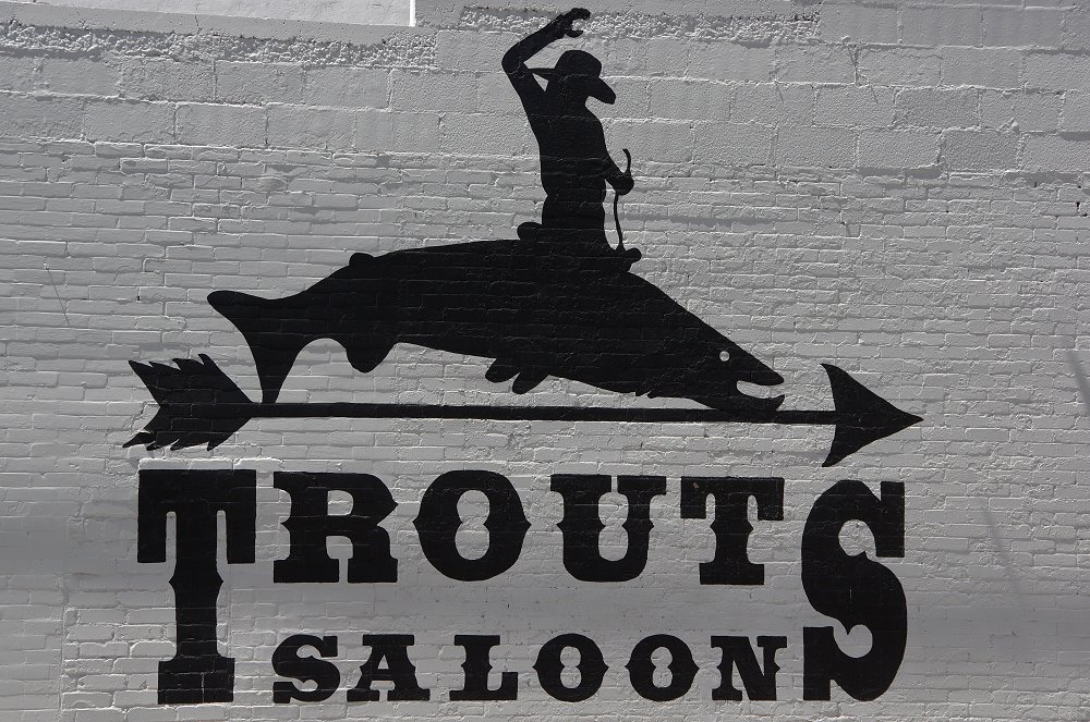
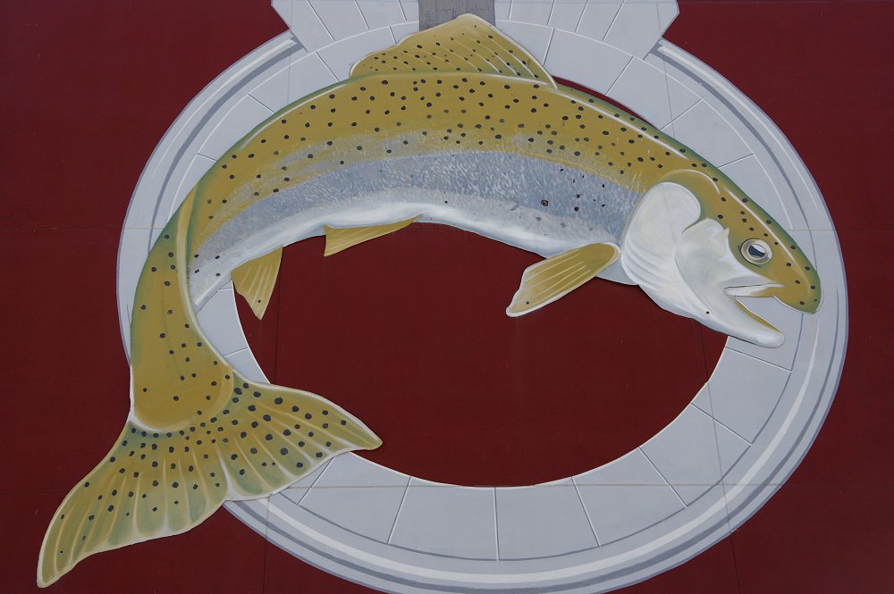
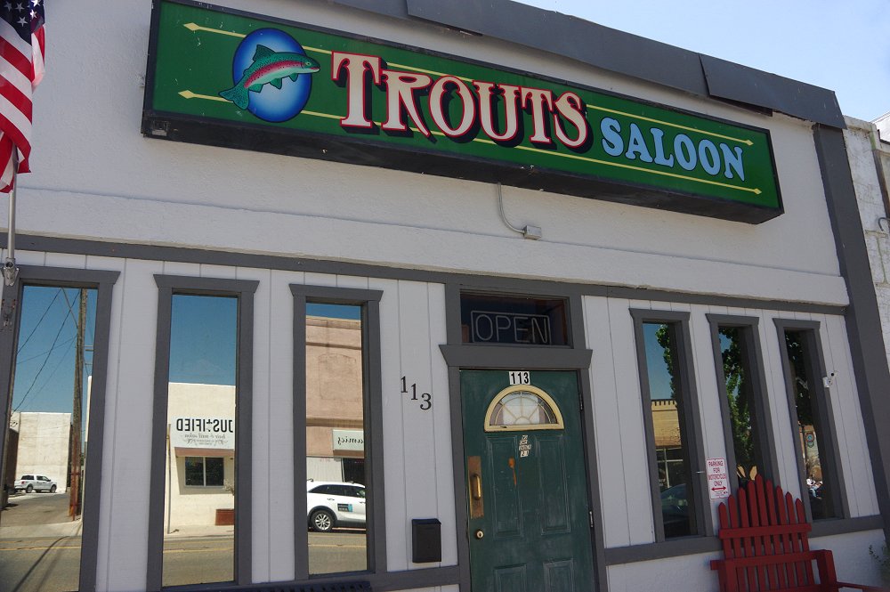
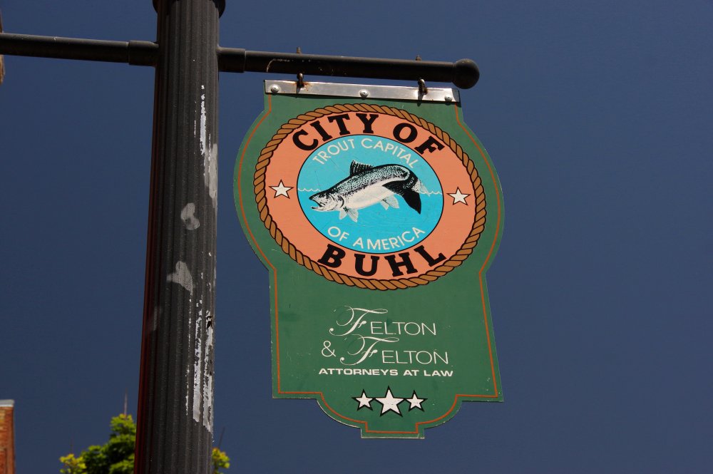 On to the "City" of Buhl, along the Old Oregon Trail / Idaho 30. Buhl is the "Trout Capital of America," founder in 1906 and is quite quaint. The population is around 4,400... |
 |
 |
 |
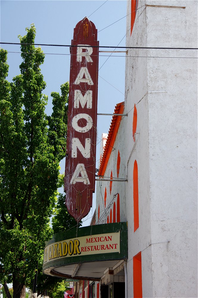 An old theater in Buhl, converted to a Mexican Restaurant... |
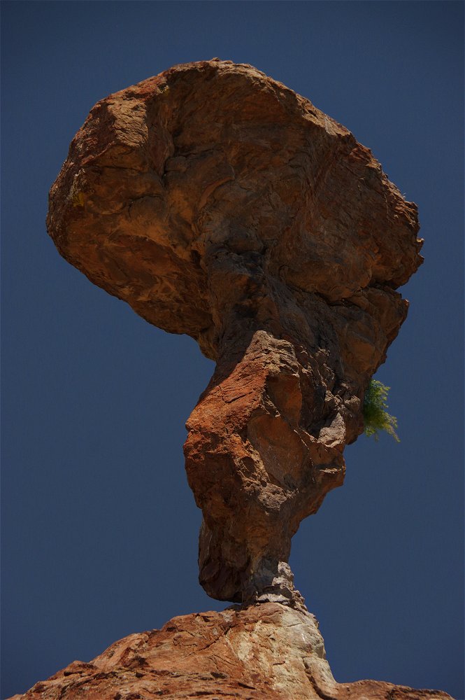
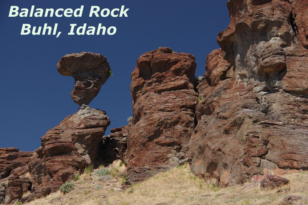 Balanced Rock, a bit west of Castleford, is as its name states - a wind-eroded stone formation that is over 48 feet tall and 40 tons, balanced precariously on a pedestal only 3 feet by 17 inches! It's a bit of a climb up the hill to actually reach it and it is literally in the middle of nowhere, but a very cool formation nonetheless... |
 |
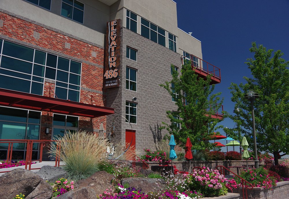 Back in Twin Falls, Elevation 486 offers good food...and the best views of the Snake River Canyon (see next 2 images). Please Click here to watch a Paraplane fly by from just above the dining terrace seen in the next image! The Route 93 bridge just upriver is the only one in the US that allows parachutists, etc. to jump without a permit and there is a landing strip in the canyon below for such. A summer dinner here in early evening is not to be missed when in Twin Falls!!! |
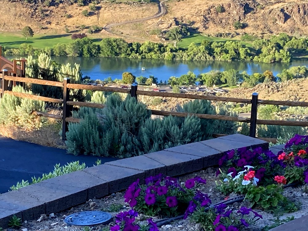 |
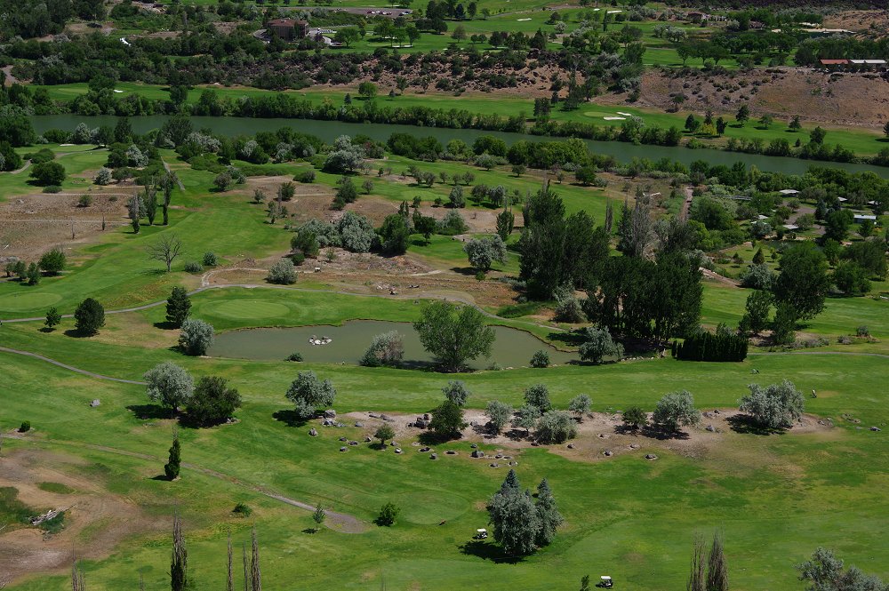 This is Canyon Springs Golf Course in Twin Falls, with the Snake River flowing alongside. The view is once again from Elevation 486. You don't need to dine on the terrace to enjoy the view, as there is a walkway below, easily accessed from the parking lot! |
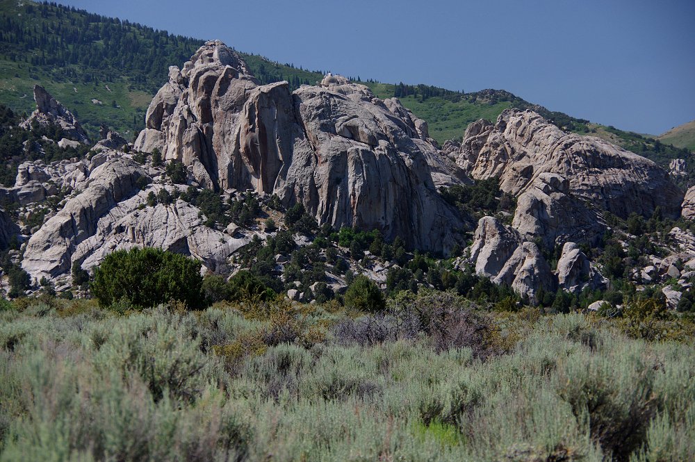
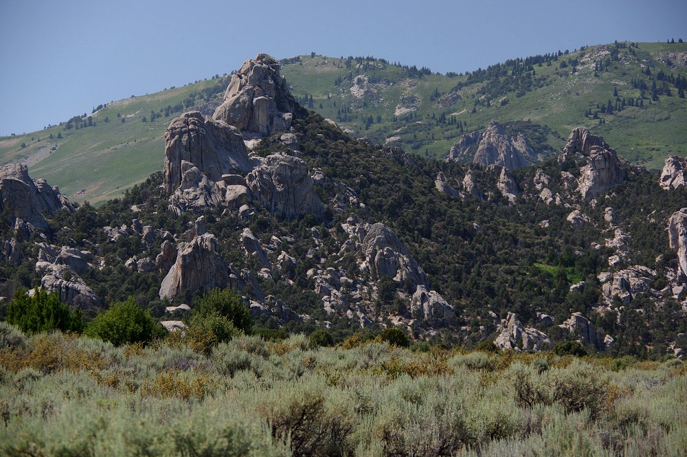
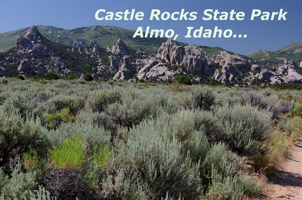 Odd rock formations abound at Castle Rocks State Park near Almo, not far from the Utah border |
 |
 |
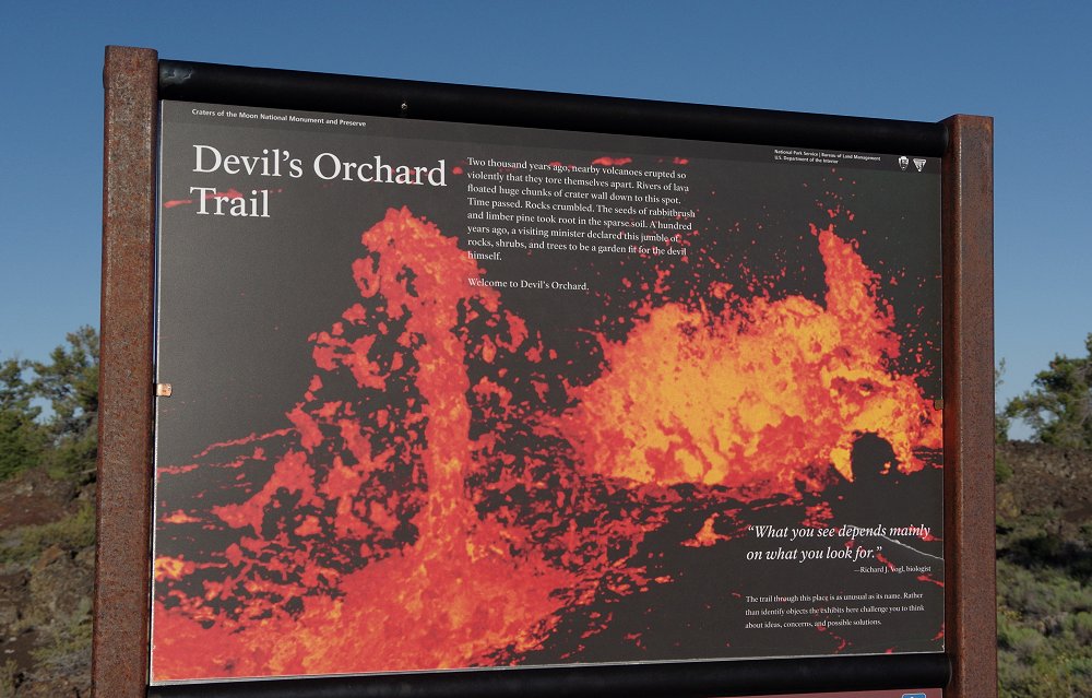
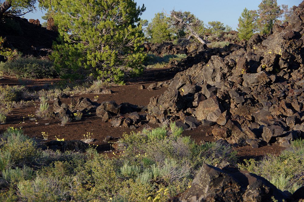
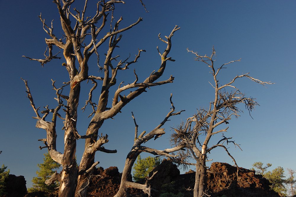
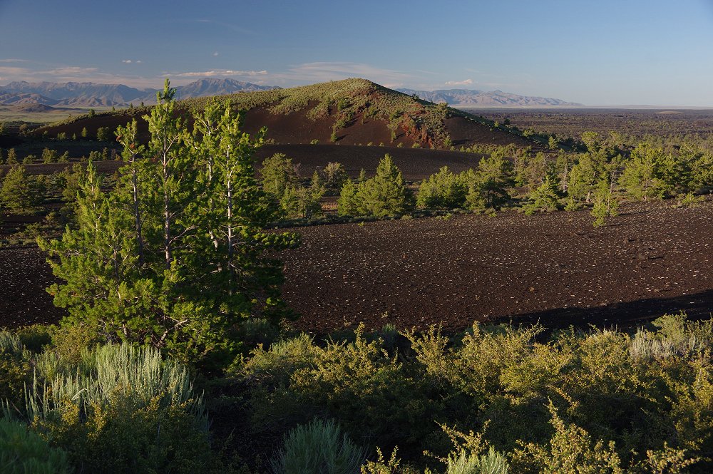
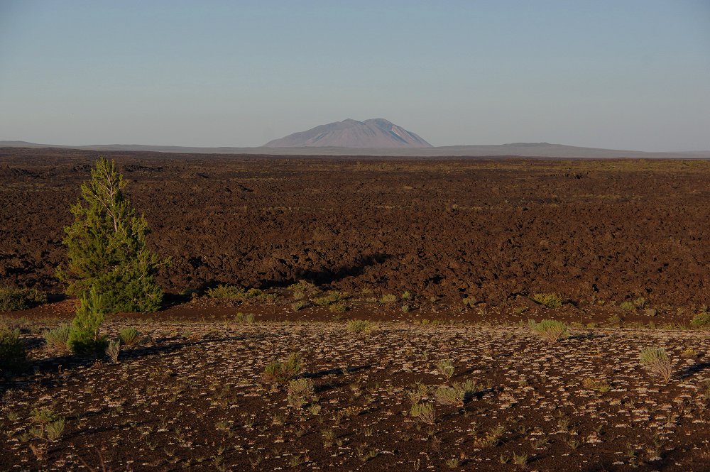
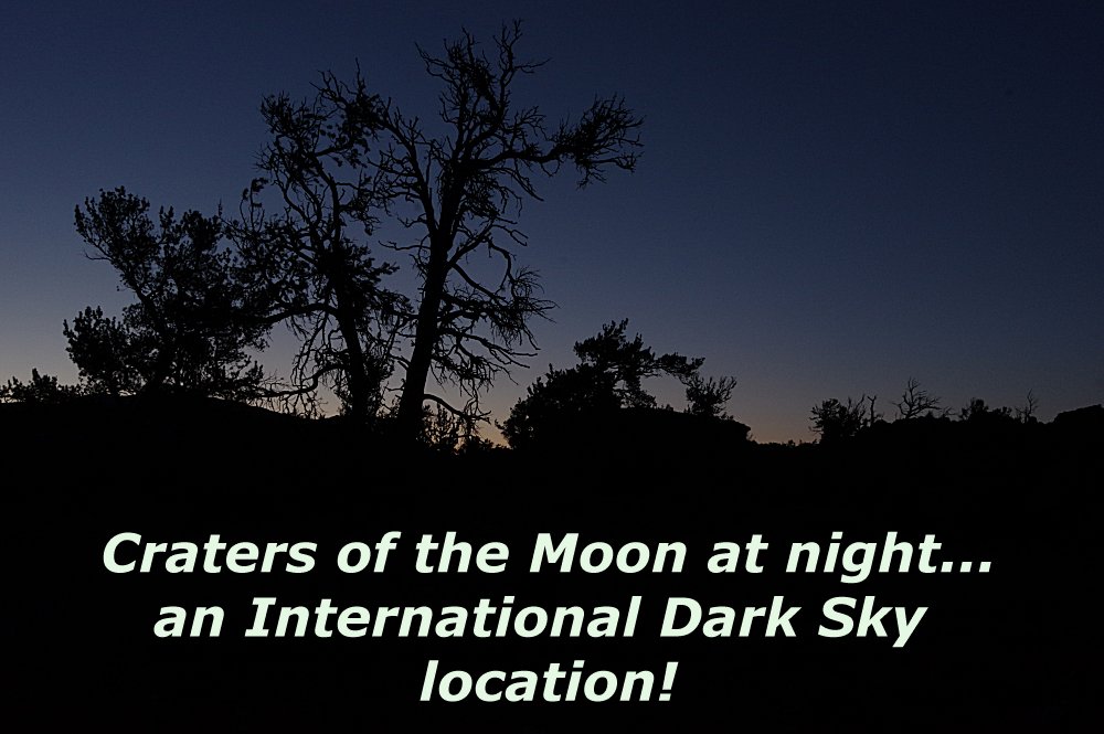
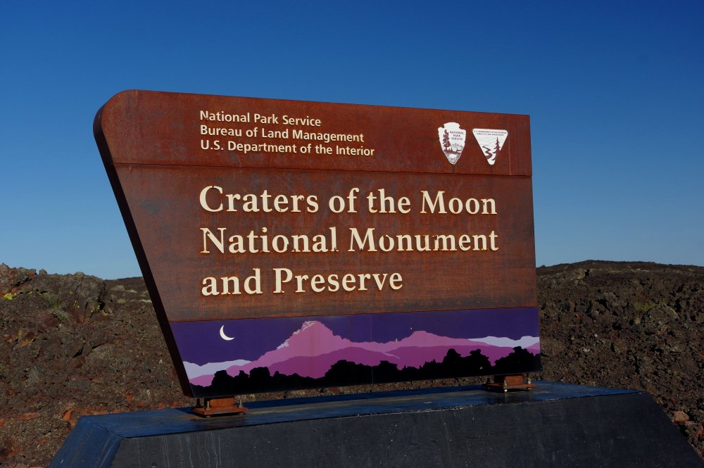 The images themselves explain this incredible landscape, about 90 miles northeast of Twin Falls...It is a huge area of lava beds where NASA astronauts actually have trained...It's also designated an International Dark Sky location, as you will see in a bit! |
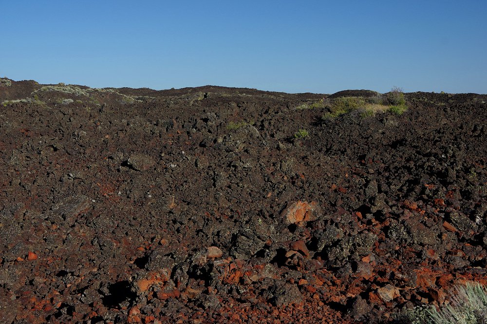 |
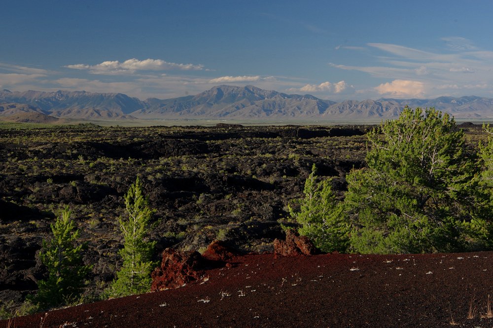 The lava flows began about 15,000 years ago and only ceased 2,000 years ago. The monument covers about 75 square miles... |
 This is the spot where we were able to set-up to photograph the night sky, along the Loop Road... |
 |
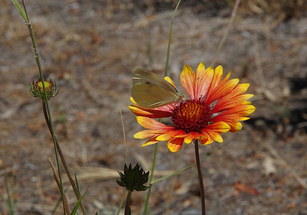
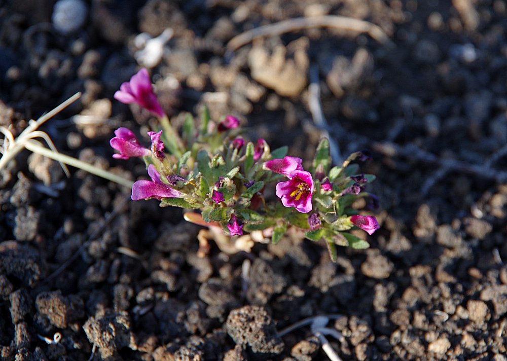
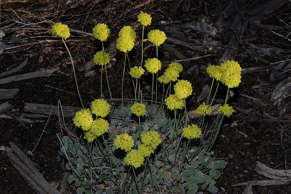
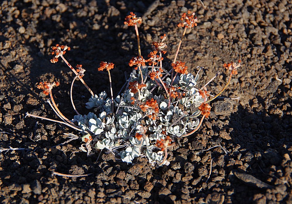 Many wildflowers are able to grow in the lava-rich soil from May through August! |
 |
 |
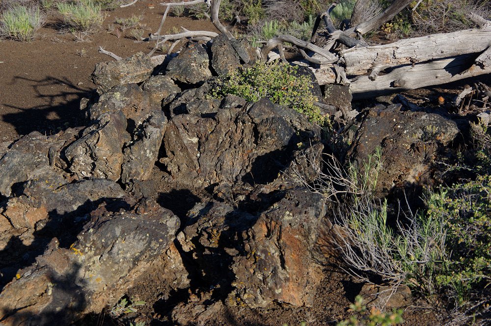
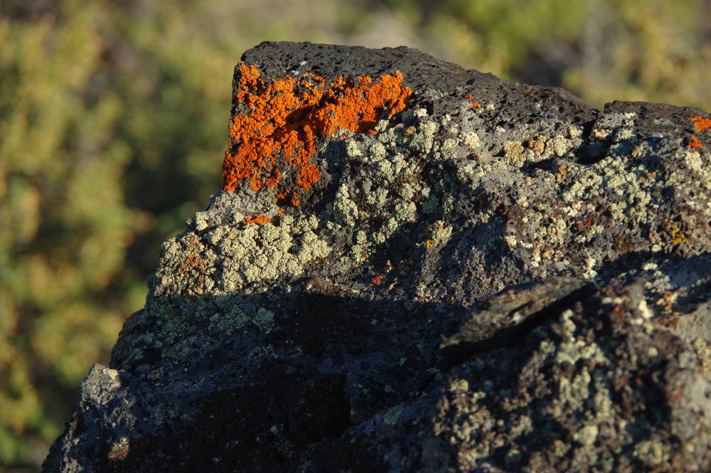
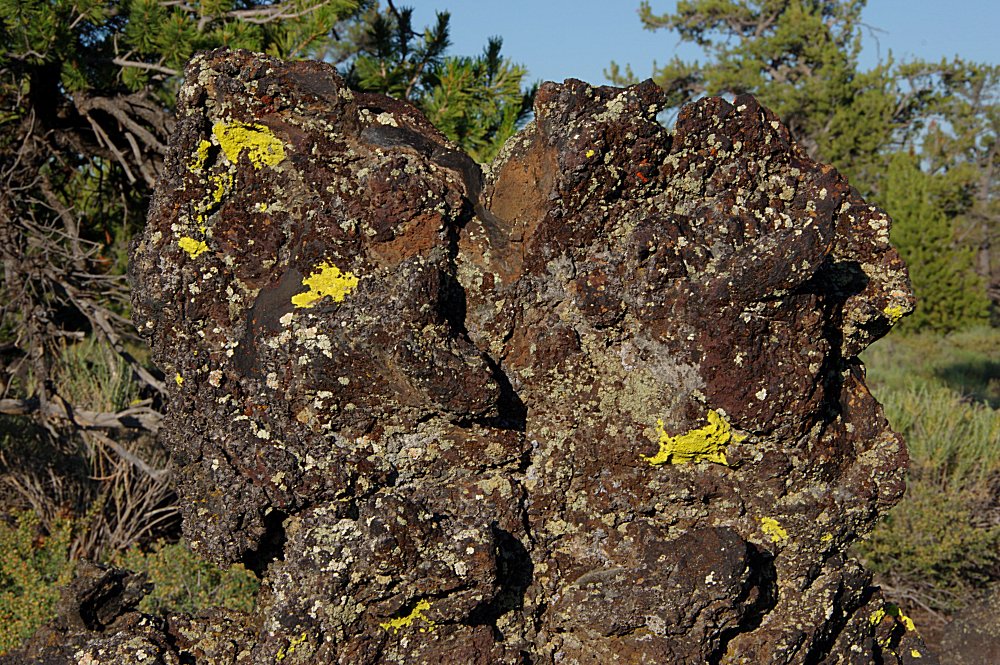 Colorful lichen covers many of the rock formations... |
 |
 |
 |
 |
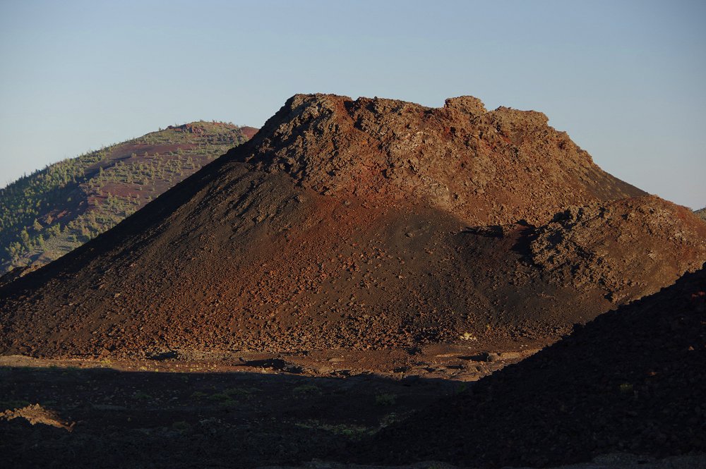
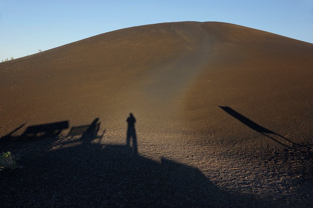 This is "Inferno Cone" - with our shadows cast in the early evening sun (twilight does not disappear completely until at least 10:30pm in early summer!). |
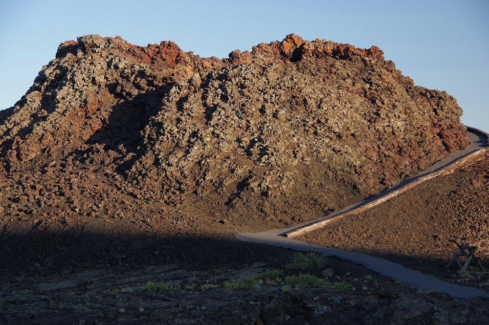
 Above and below: Formations known as "Splatter Cones." A 7-mile, mostly one-way paved loop takes you through the park and most all of its sights. |
 |
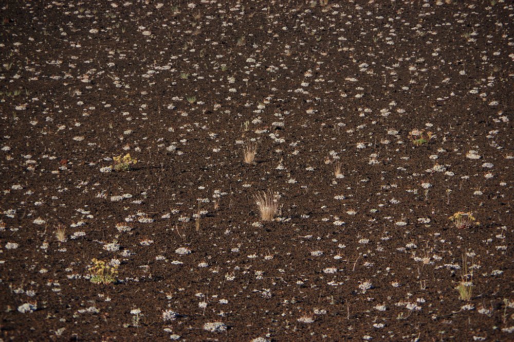 White wildflowers grace one hillside along a spur road off Loop Road, popping up out of the lava/soil after spring rains arrive... |
 |
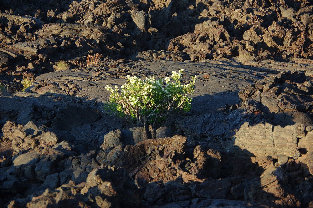 Flowers will pop-up in the strangest places along this foreign landscape! |
 |
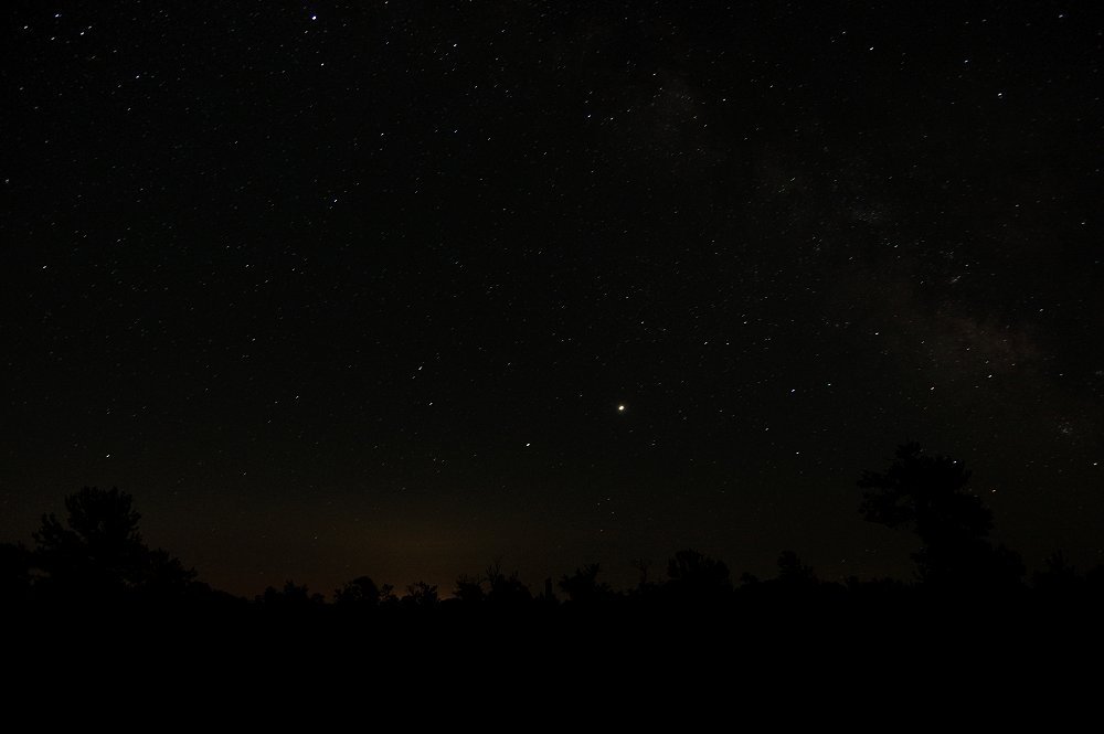
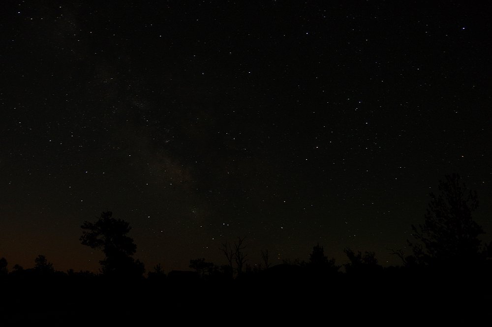
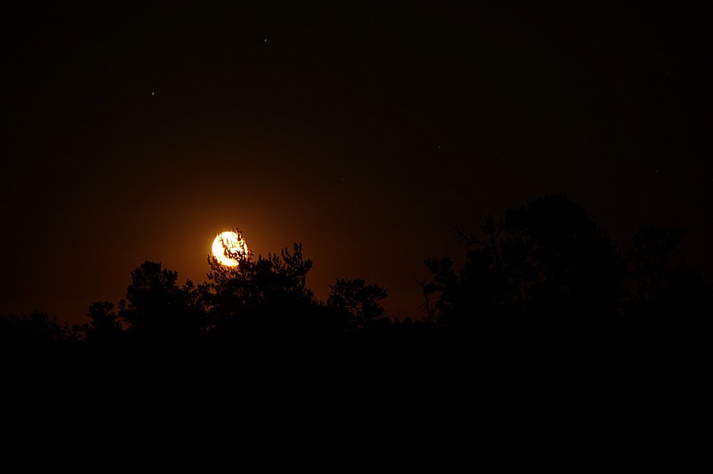
 Note: These night sky photos are best viewed on a PC screen, as smartphone screens may not reveal the color and fine details of the star field images!! These images were taken between 10:30pm and midnight, using a tripod & cable release, with the DSLR set at wide-angle, f/4 for 15 to 20 seconds on bulb. ISO setting was either 800 or 1600 to allow for the least digital noise. At about 11:40pm, the moon began to rise, pretty much killing the "Dark Sky" designation... We were the only ones in the area that evening and the sky was glorious, as you are about to see! The beauty is something everyone should experience... |
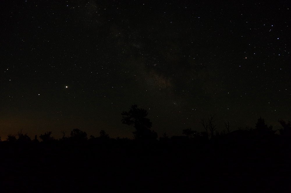 Above and next two below: What appears to be a slightly orange cloud in these shots is actually the Milky Way - billions of stars only visible with a time exposure! The brightest "star" in the frame above and below is actually the planet Jupiter... |
 |
 |
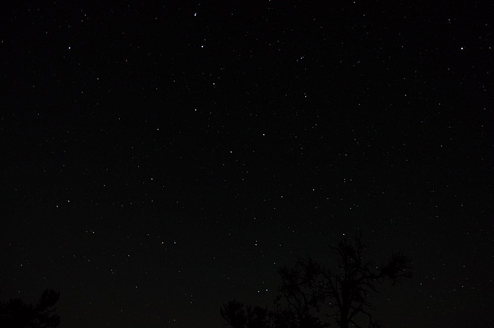 A glorious star field... |
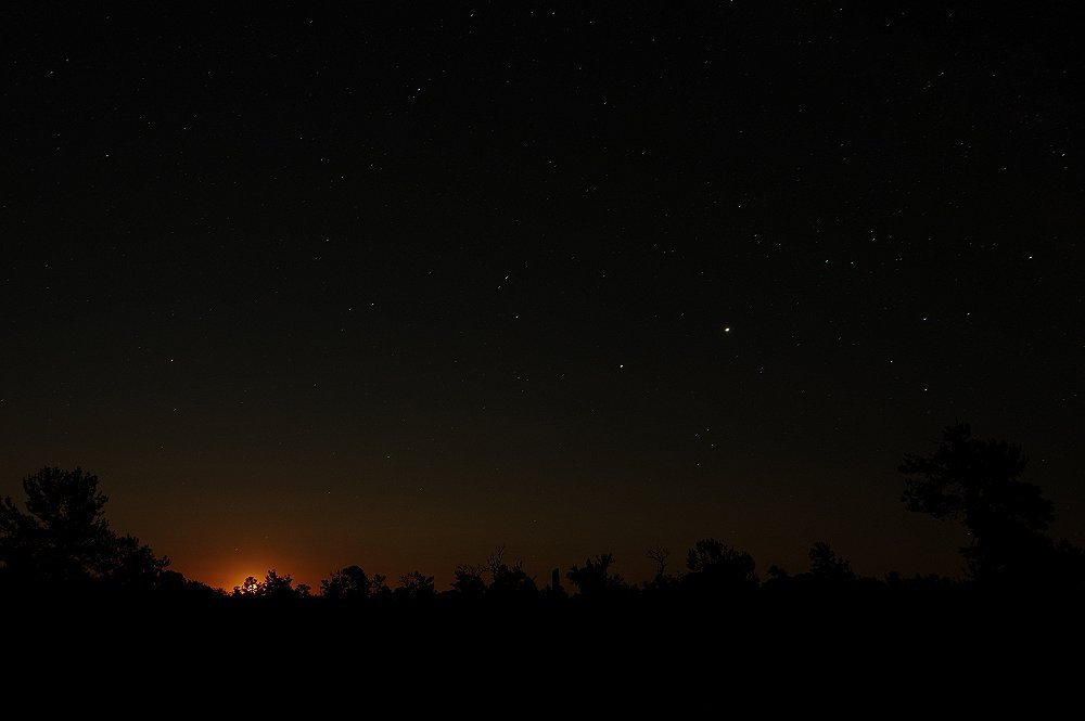 ...and the moon as it rises in the east about 11:40pm! |
 |
| Thanks for viewing! Hope you learned a bit about Southern Idaho!!! -D&D |
 

|

Land Tours - Cruising - Travel Glossary - Gallery - Email Us