|
D&D Travel's Washington State Tour - Mt. Rainier and North Cascades National Parks - (Part 3 of 3) Welcome to the final page of our tour of Washington State and two of her beautiful national parks - Mt. Rainier in Central Washington (our favorite!) and North Cascades, in northern Washington State, just below the British Columbia border...In fact, you'll see a few images from just over the line into Canada - Bridal Veil Falls and her lush rainforest. Thanks for your visit! [home]
|
|
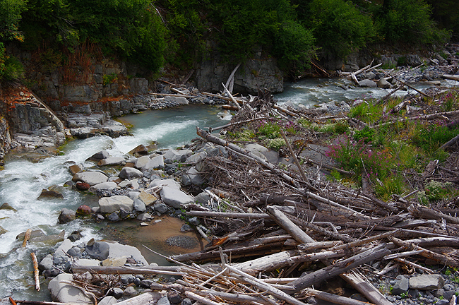
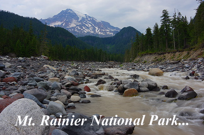
The Nisqually River flows down from Mt. Rainier (in the background) from the glacier of the same name. Due to a very limited and early-melting snow pack in 2015, the area rivers and streams were much lower than usual, but still torrential in places...and the glacier itself had all but vanished!
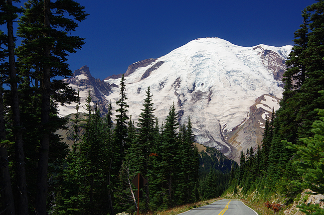
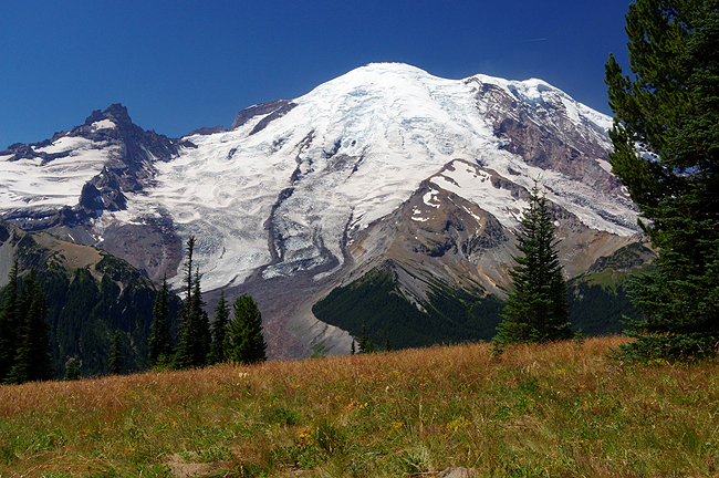
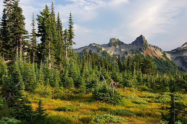
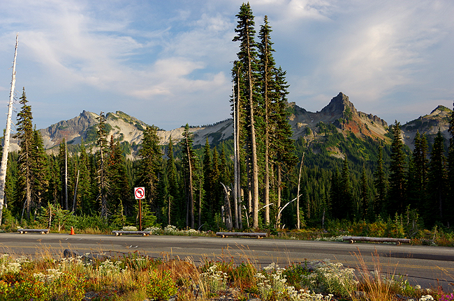
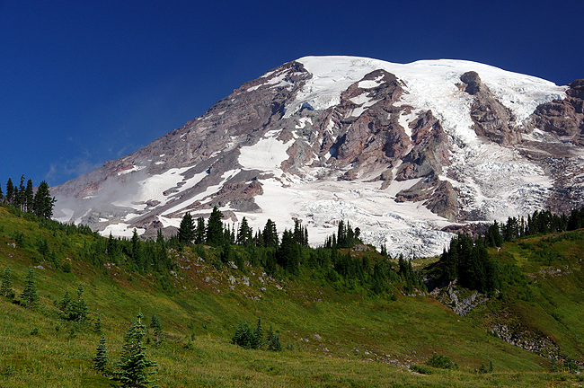
On the road to Sunrise - the eastern entrance to the park, completed in 1929 - Mt. Rainier looms far above, still sporting a decent snow pack on its eastern slope...
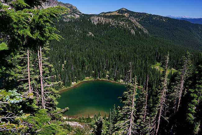
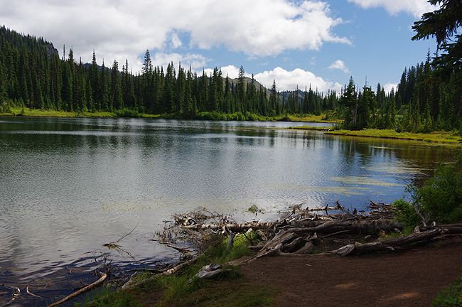
This is Sunrise Lake, along the road to the Sunrise Visitor Center, which at 6400 feet, is the highest elevation by road in the park...
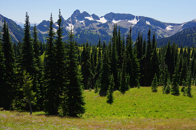
Above and below: Two more views along Sunrise Road...
|
|
Along the main road (Rt. 706) into the park (the Nisqually Entrance), you'll find some of the most beautiful waterfalls in the country. Above is Christine Falls - a 60-foot drop of Van Trump Creek |
|
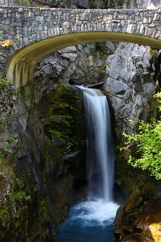
A bit further along you'll find Narada Falls - a 168-foot initial plunge that then tumbles another 73 feet to its bedrock base... |
|
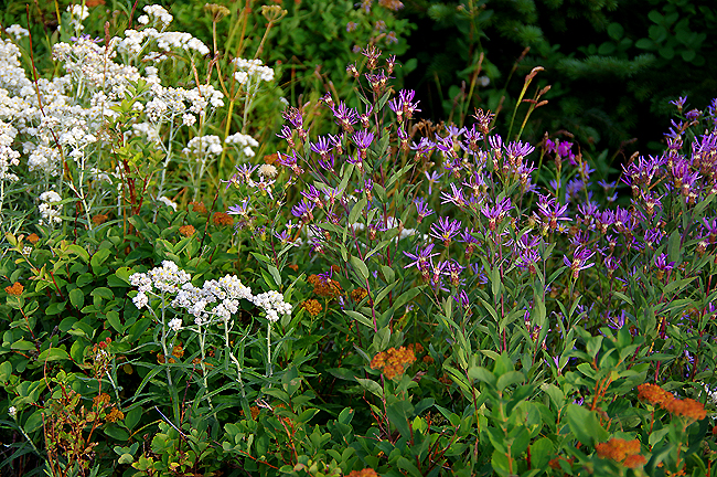
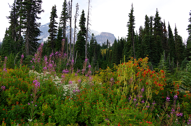
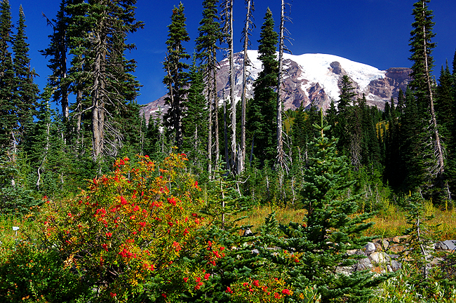
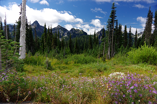
At Paradise, where the road ends at the 5400-foot level, wildflowers are still in bloom even though the peak was almost a month early in 2015! |
|
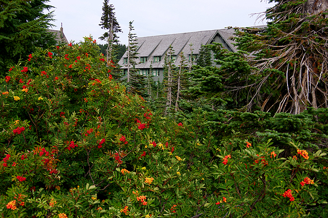
Set among the flowers and at the base of Mt. Rainier is the Paradise Inn Hotel. Nothing can beat an overnight stay, rising early in the morning to see Rainier - and the surrounding Cascades - either in the clear or shrouded in mist |
|
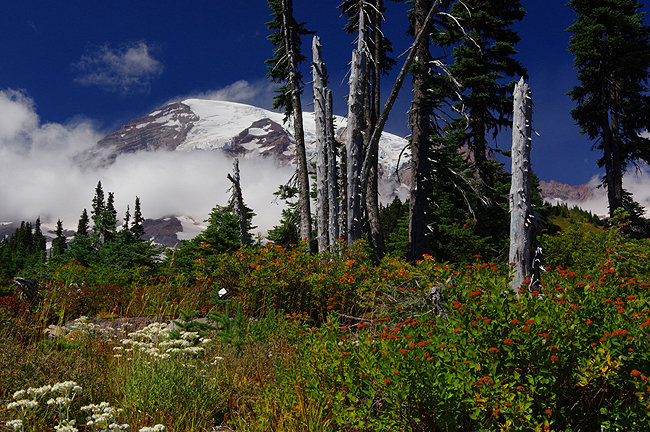
Above and next two below: A view of mist-shrouded 14,400-foor Mt. Rainier (above) and the Cascade Range (below) from the grounds of the Paradise Inn! |
|
|
|
|
|
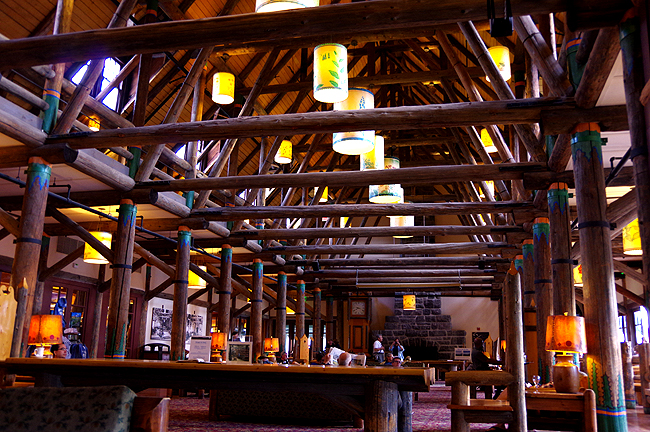
Inside the Paradise Inn main lobby! The Inn was built in 1916 and is designated as "One of the Great Inns of the West." It has 121 rooms that book very early - so plan ahead! |
|
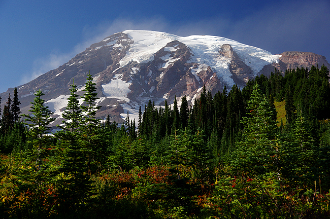
Another view of Rainier on a crystal-clear summer morning in early August... |
|
Above and next two below: The west side of Rainier, along Skyline Trail, accessed from the Paradise Inn...
|
|
This is Mrytle Falls, along the Skyline Trail... |
|
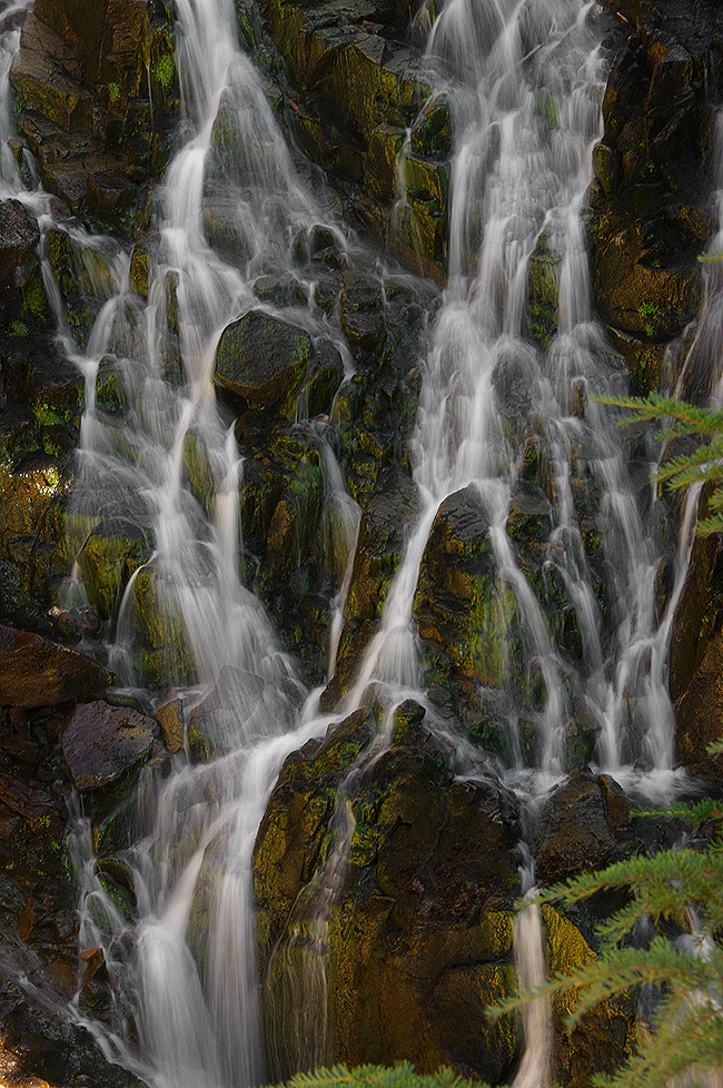
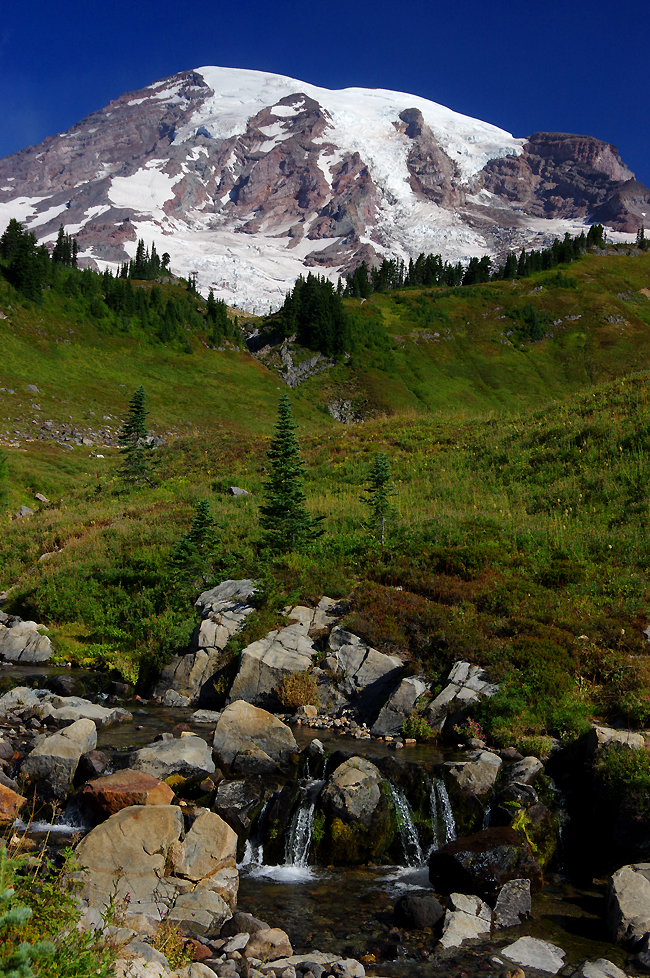
Glacial meltwater trickles down from the mountain... |
|
Another gorgeous view along the hiking trail... |
|
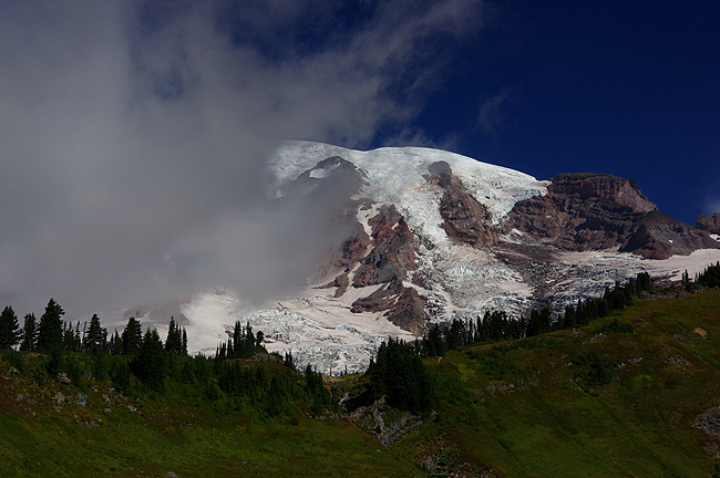
Clouds begin to form along the western slope as warm air slams into the mountain and is forced up into colder air aloft. Moisture condenses and clouds result, which is why Rainier is often shrouded in mist! Often, that moisture never makes it to the opposite side of the mountain... |
|
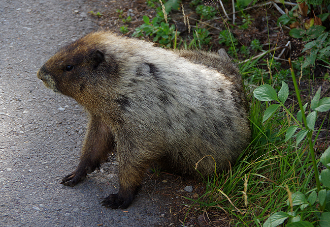
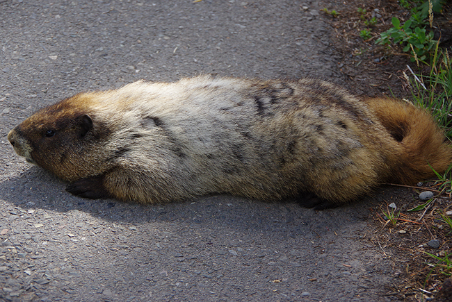
Above and below: A Marmot makes an appearance along Skyline Trail, to our delight! This day, unafraid of other trail users, he poses, stretches out and relaxes for the camera (he also washed and scratched himself so as to appear his best for the photos)! |
|
|
|
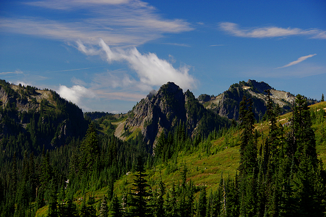
Another view of the Cascade Range... |
|
Along Stevens Canyon Road, south of Paradise, is Reflection Lakes...This day, wind ripples the water and with the mountain shrouded in early-morning mist, the lakes did not live up to their name! Still lovely in any case... |
|
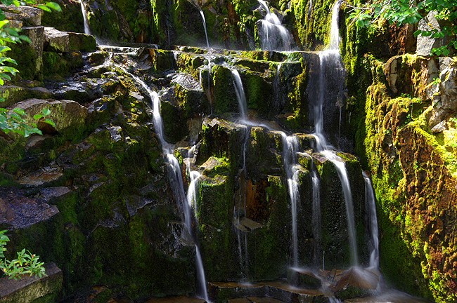
An un-named cataract along Stevens Canyon Road... |
|
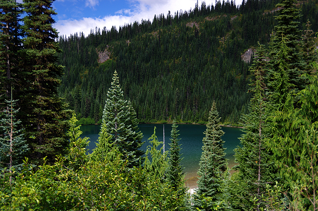
...and a view of Louise Lake not far along. |
|
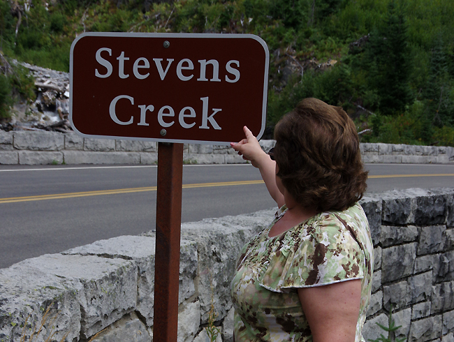
Named for our Son, of course, is Stevens Creek (below)! |
|
|
|
|
|
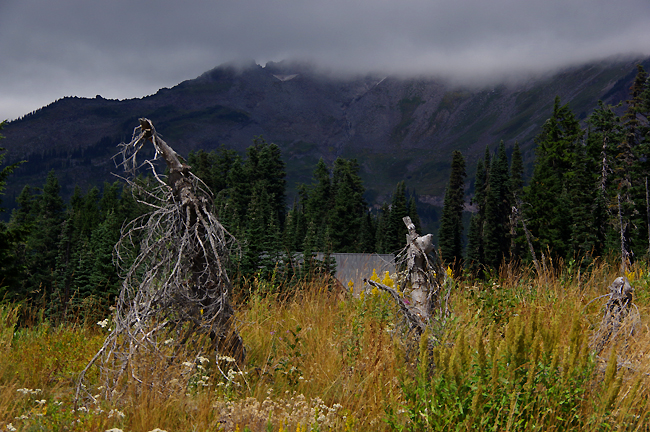
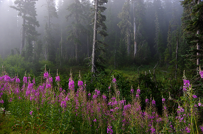
Above and below: Early-morning mist hovers near the mountain tops and in the forest (below) along Stevens Canyon Road... |
|
|
|
Off toward North Cascades National Park, we visit the Gorge Creek Power Station, where Ladder Creek Falls, fully protected, tumbles down toward the Skagit River, within the Ross Lake National Recreation Area. This is a place of immense beauty! |
|
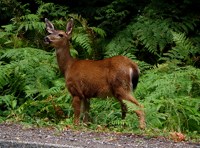
A doe, more curious than afraid, takes a break from eating to pose for the camera along a back road... |
|
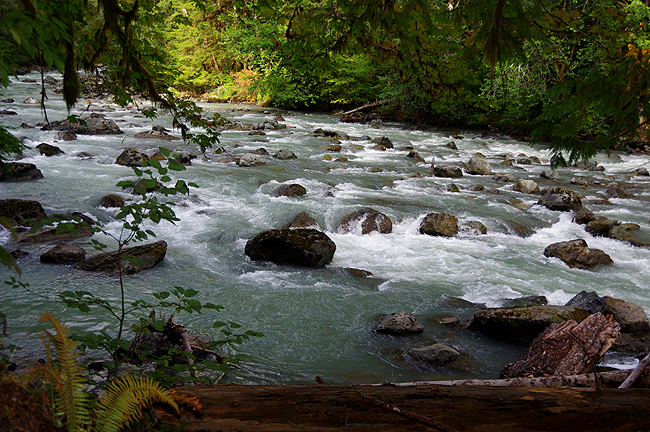
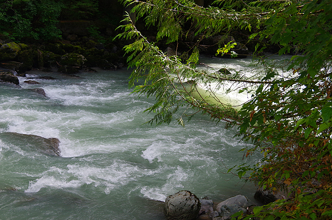
Above and below: The Nooksack River, in the Mt. Baker Wilderness, along WA Route 542. This road dead-ends at Artist Point, just west of the boundary with North Cascades National Park (which is virtually inaccessible by road)... |
|
|
|
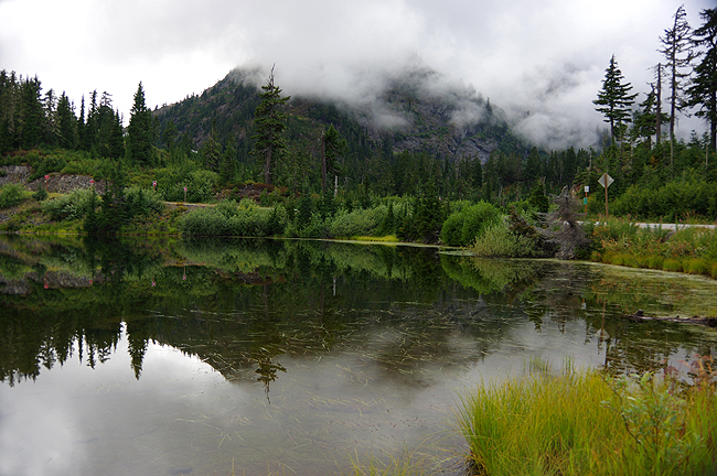
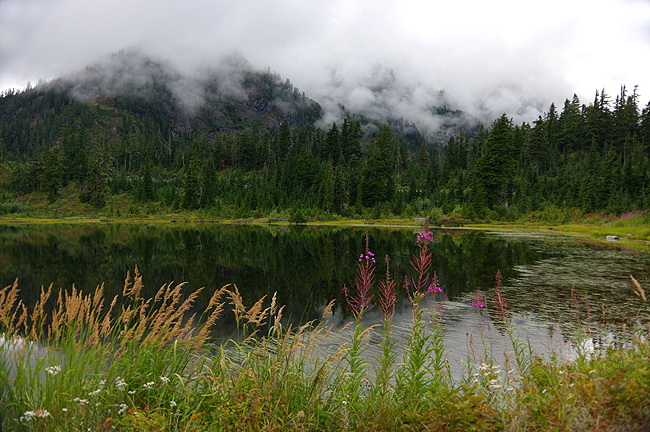
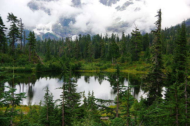
Above and next two below: On the way to Artist Point (you'll see why it's called that below) is Picture Lake - all part of the Mount Baker-Snoqualmie National Forest. Hmmm...wonder why it's called Picture Lake?!!! |
|
|
|
|
|
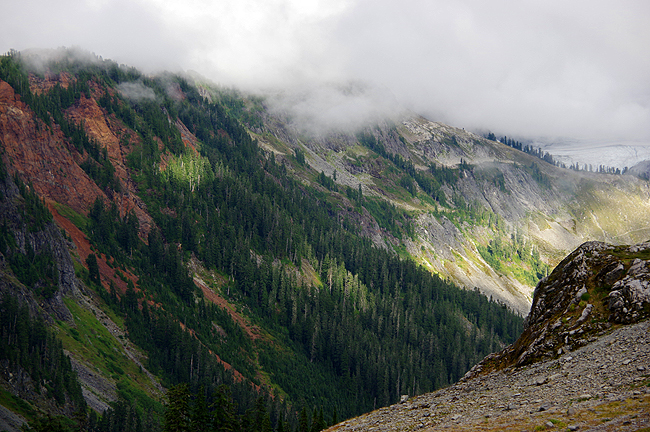
Finally we reach Artist Point...and the ride was worth it! At over 5000 feet in elevation, if offers - on a clear day - gorgeous views of Mt. Baker and Mt. Shuksan, inspiring all sorts of artwork! |
|
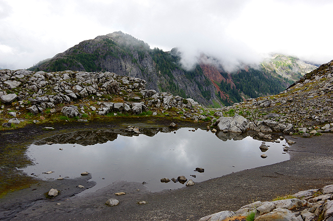
The last vestiges of winter lay in this glacial pool atop the point... |
|
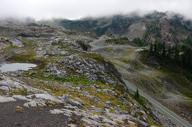
Here, just above the tree-line, the landscape is stark...and so beautiful! |
|
|
|
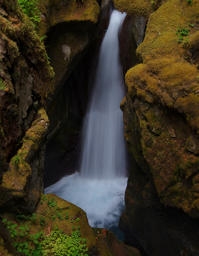
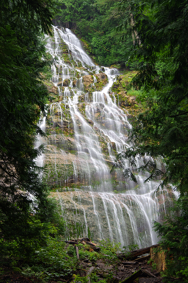
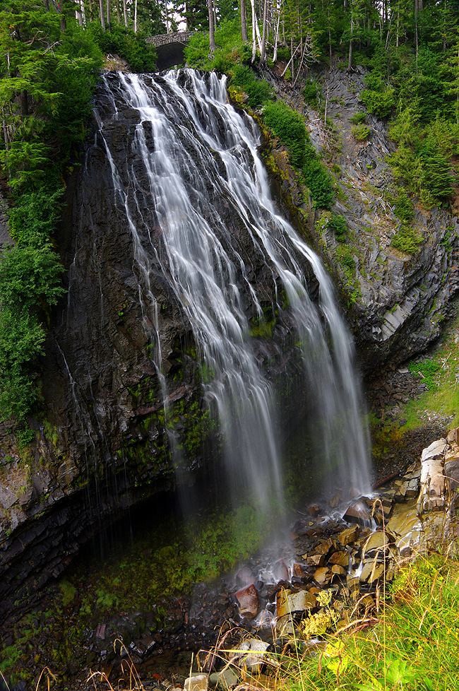
And now, for something completely different...This is Bridal Veil Falls, in the Provincial Park of the same name just over the border into British Columbia - about 60 miles from Bellingham, WA. Even with lower-than-average water levels, the cataract is still spectacular! |
|
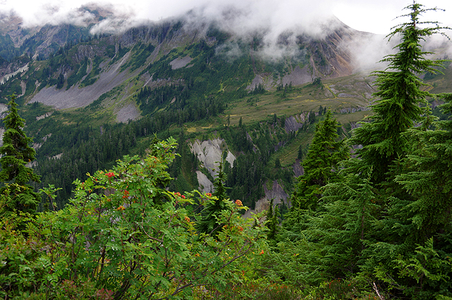
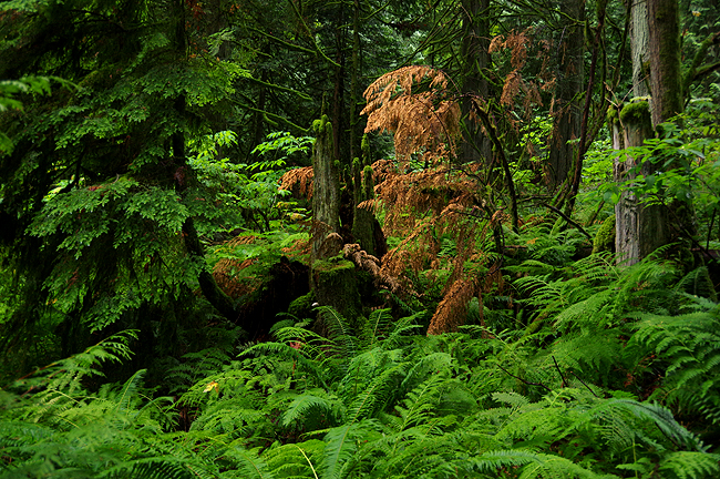
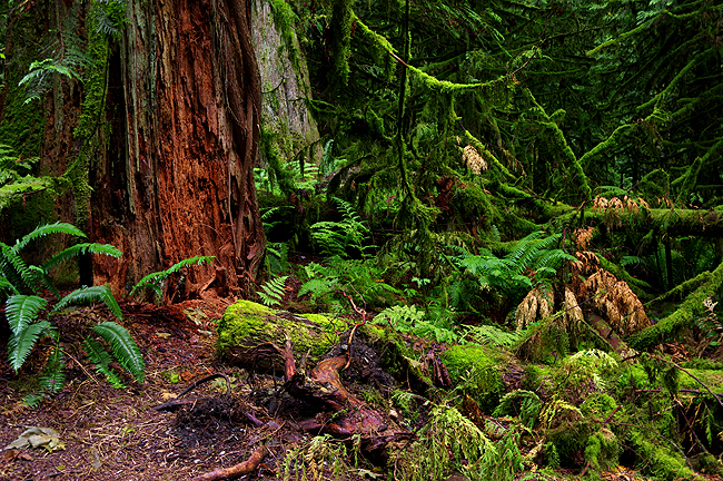
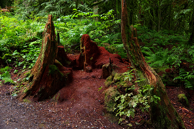
Above and final two images below: The beauty of the rainforest is quite evident along the trail to the falls... |
|
|
|
|
|
Thanks so much for your patience in scrolling through these many images! Editing was a tough job indeed, since the Pacific Northwest is so lovely! Yours, Dennis and Donna Hubbs all images on these 3 pages are © copyright 2015, Dennis A. Hubbs/D&D Travel Services, LLC
|
 

Land Tours - Cruising - Travel Glossary - Gallery - Email Us
|